ArcGIS Field Maps
ArcGIS Field Maps by Esri is a popular GIS app. Unfortunately it does not have a built in NTRIP Client to allow high precision corrections down to the FPL. To enable high-precision, a mock location and an intermediary app such as GNSS Master or Lefebure is needed.
Once a mock location provider is setup, open Field Maps.
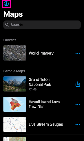
Select World Imagery.
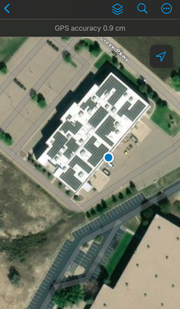
Field Maps will use the device's internal location as its default location provider. With GNSS Master or Lefebure providing the mock location to the phone, Field Maps will have a super precise GNSS location and data collection can begin.