ArcGIS Survey123
ArcGIS Survey123 by Esri is a popular GIS app. Unfortunately it does not allow Bluetooth connections to 3rd party devices. To enable a connection to the FPL, a mock location and an intermediary app such as GNSS Master or Lefebure is needed.
Once a mock location provider is setup, open Survey123.
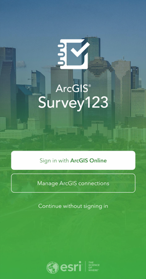
For the purposes of this demonstration, click Continue without signing in.
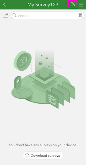
Select the satellite icon in the upper right corner.
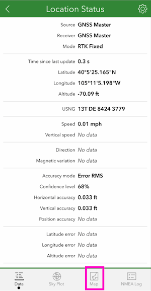
If the mock location provider app is running, you should see the Lat/Lon/Alt from the FPL. In the above image, RTK Fix is achieved with 0.033ft (10mm) accuracy. Click on the map icon.
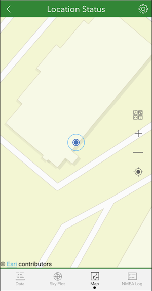
The location of the receiver is shown on a map. With GNSS Master or Lefebure providing the mock location to the phone, Survey123 will have a very precise GNSS location and data collection can begin.