Welcome
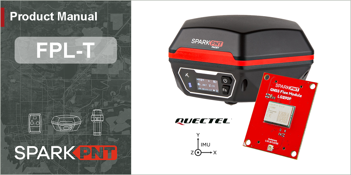
This is the online product manual for the SparkPNT FPL-T; a high-performance, precision, MFi certified, multi-band GNSS RTK combination rover and base station. If this is your first time using the FPL-T, check out our Quick Start Guide for initial instructions on setting up the FPL-T for surveying with the SW Maps, a GIS app for mobile devices; along with providing NTRIP corrections through the app. Again, thank you for purchasing our SparkPNT FPL-T!
🪄 Getting Started
A quickstart guide for surveying with the SW Maps app
📲 Connectivity
How-to pair the FPL-T with your mobile device
Equipment Overview
A complete overview of the FPL-T and its interfaces
GIS Apps
A guide for GIS apps on Android and iOS devices
📍 Placement Guidelines
Tips for surveying measurements
Firmware Updates
A guide for updating the firmware on the device
Specifications
The hardware specifications for the FPL-T
Product Comparison
A comparison of the SparkPNT products for GNSS surveying
🚧 Repairs
A disassembly guide to replace or repair damaged components