ArcGIS Survey123
Unfortunately, this app does not provide a built-in NTRIP client to access and relay RTK corrections to the FPL.
Additionally, this app can't identify the FPL as a Bluetooth device. Luckily, we have a work around for this type of situation.
-
Utilize a WiFi network connection. The FPL features an internal NTRIP client, which can be utilized with internet access from a WiFi network.
-
This also includes utilizing the mobile device as a cellular hotspot for the WiFi network.
ArcGIS Survey123 is a popular offering from Esri that works well with SparkPNT products.
ArcGIS Survey123 connects to the RTK device over TCP. In other words, the RTK device needs to be connected to the same WiFi network as the device running ArcGIS. Generally, this is an iPhone or iPad.
!!! note The iOS hotspot defaults to 5.5GHz. This must be changed to 2.4GHz. Please see Hotspot Settings.
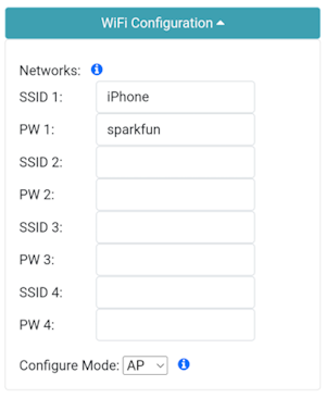
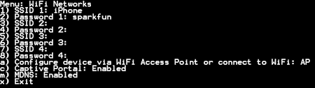
The RTK device must use WiFi to connect to the data collector. Using a cellular hotspot or cellphone is recommended. In the above image, the device will attempt to connect to iPhone (a cell phone hotspot) when WiFi is needed.

Next, the RTK device must be configured as a TCP Server. The default port of 2948 works well. See TCP/UDP Menu for more information.

Once the RTK device connects to the WiFi hotspot, its IP address can be found in the System Menu. This is the number that needs to be entered into ArcGIS Survey123. You can now proceed to the ArcGIS Survey123 app to set up the software connection.
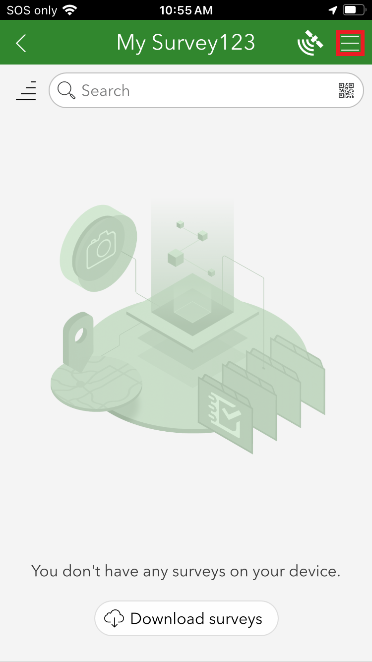
From the home screen, click on the 'hamburger' icon in the upper right corner.
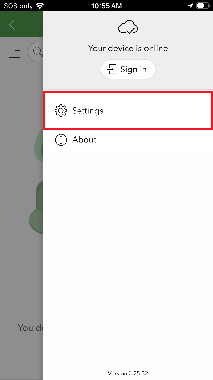
From the settings menu, click on the Settings gear.
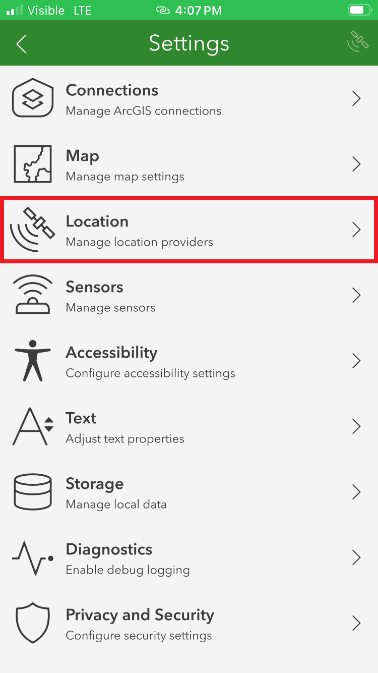
From the settings list, click on Location.
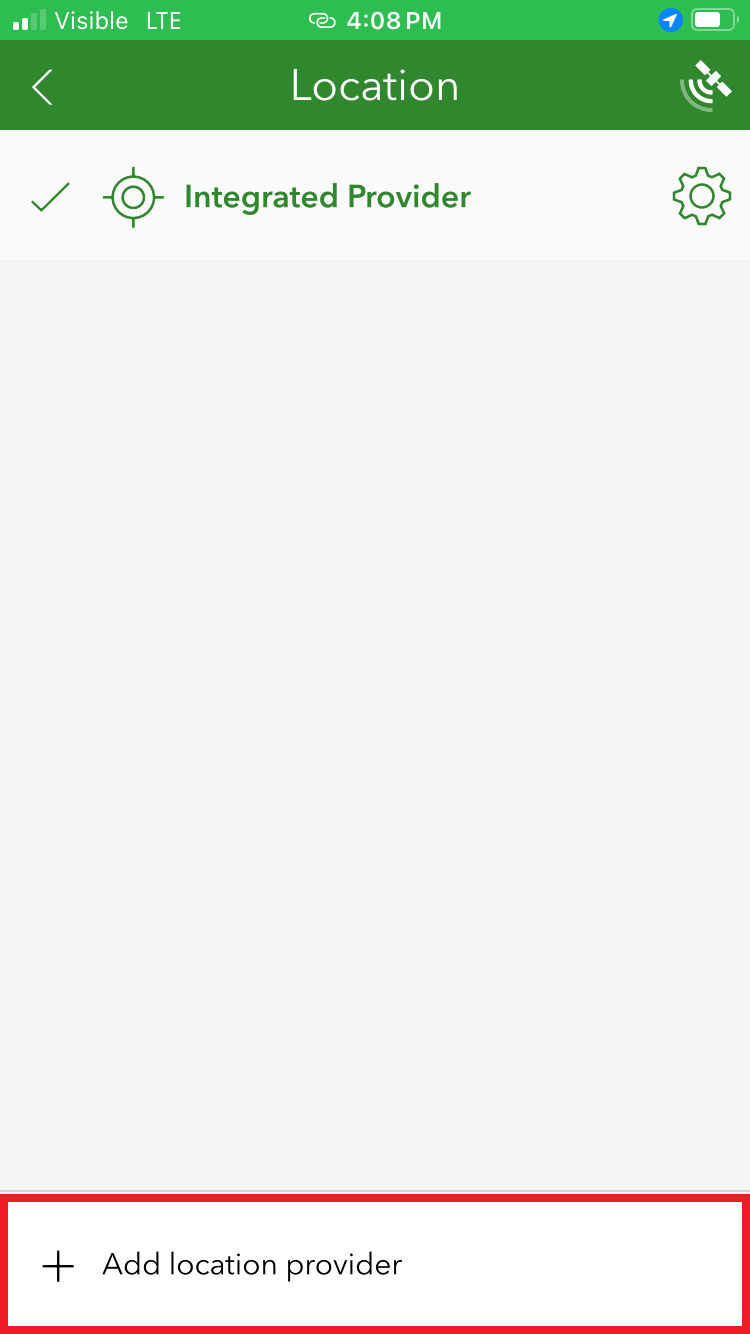
Click on the Add location provider.
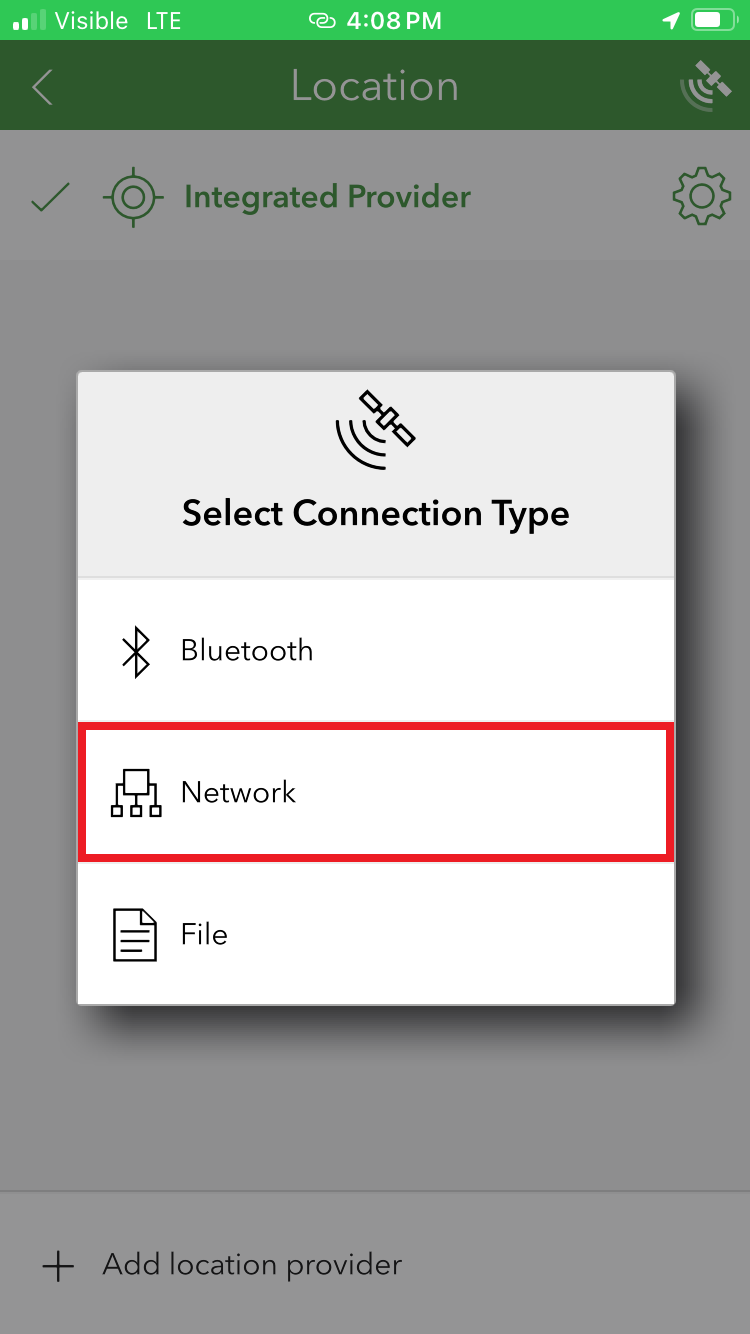
Select Network.
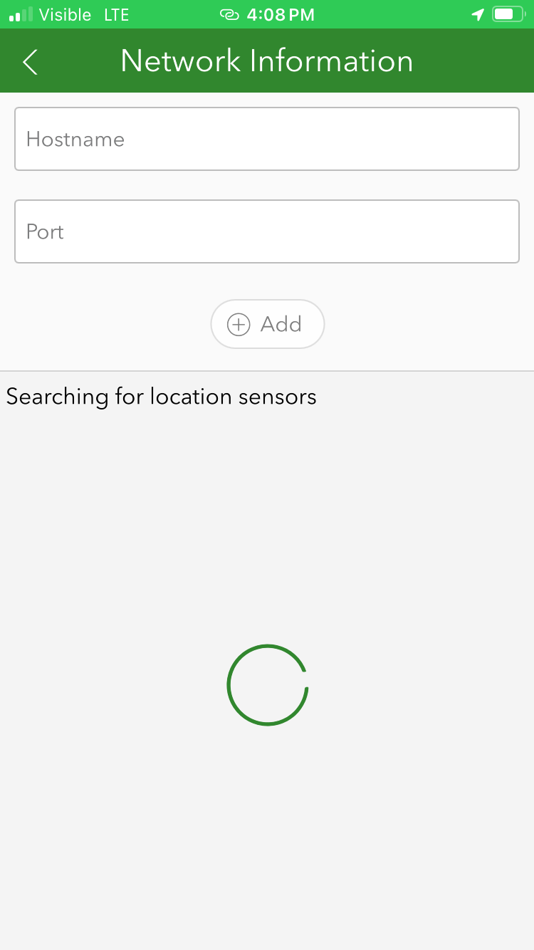
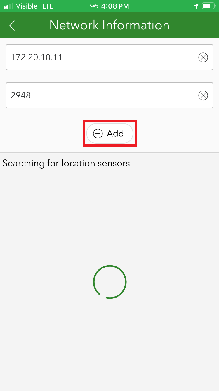
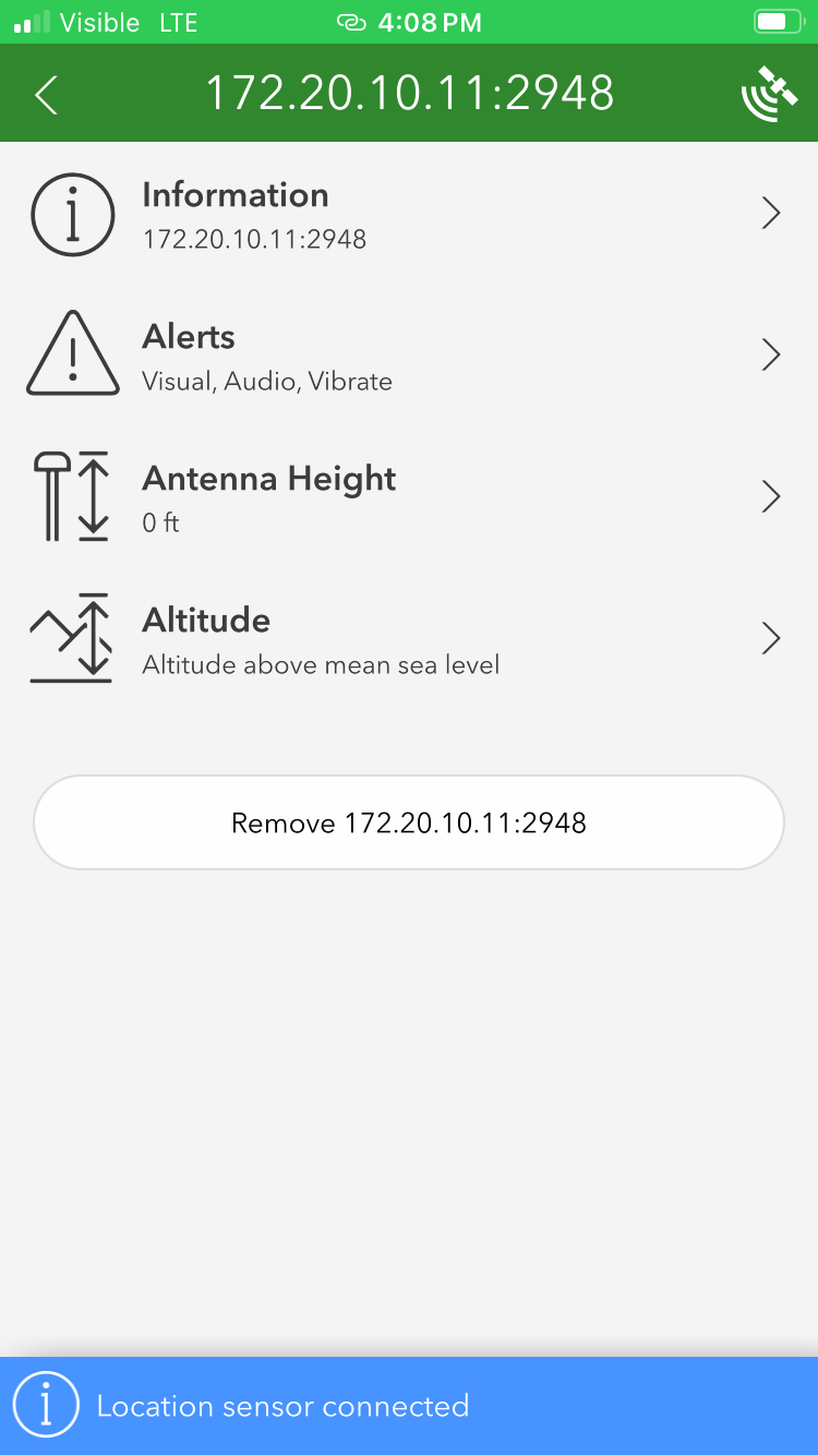
Enter the IP address previously found along with the TCP port. Once complete, click Add.
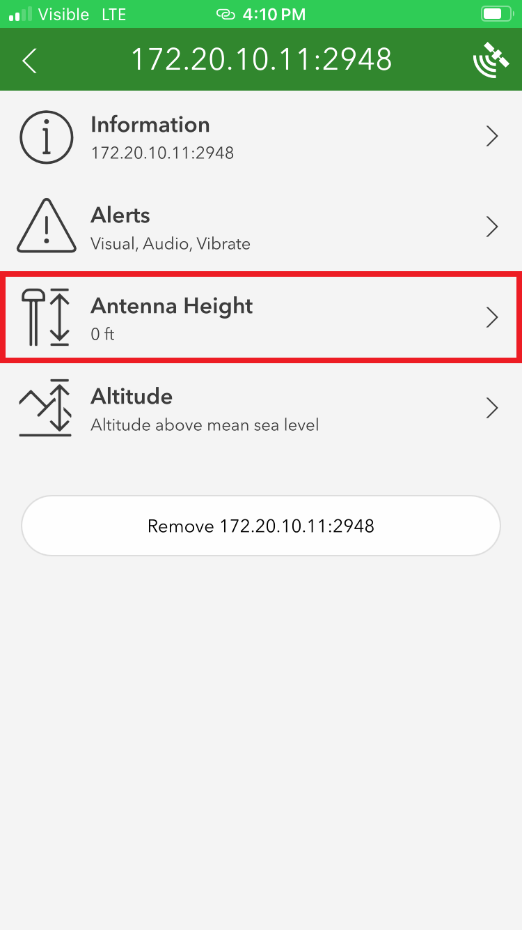
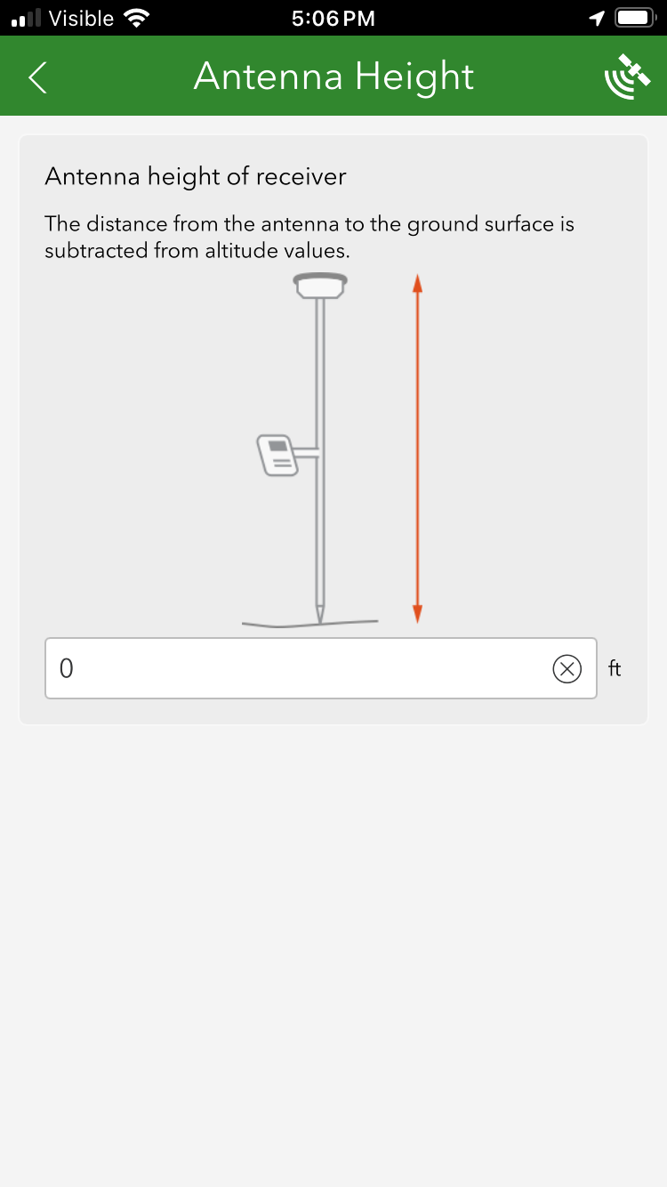
You may enter various sensor-specific settings including antenna height, if desired. For this setting, take your time calculating the antenna height information. This value, in feet, is the combined value of the pole length that will be used (1.8m is common) plus the antenna phase center (APC) of the FPL. In this scenario, the accumulated length of 1.8m pole + 58mm APC = 1.858m (6.0958') would be entered. If your antenna height is entered incorrectly, the vertical component of your location recordings will be inaccurate.
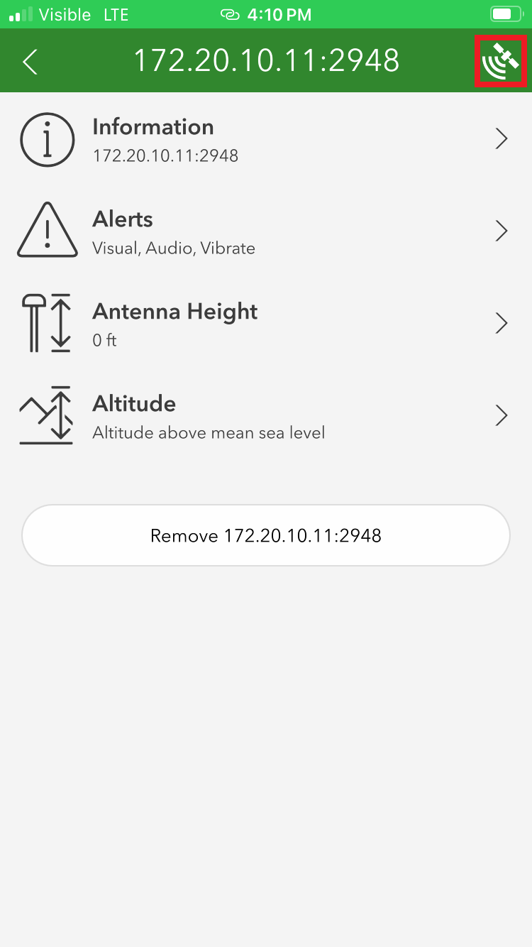
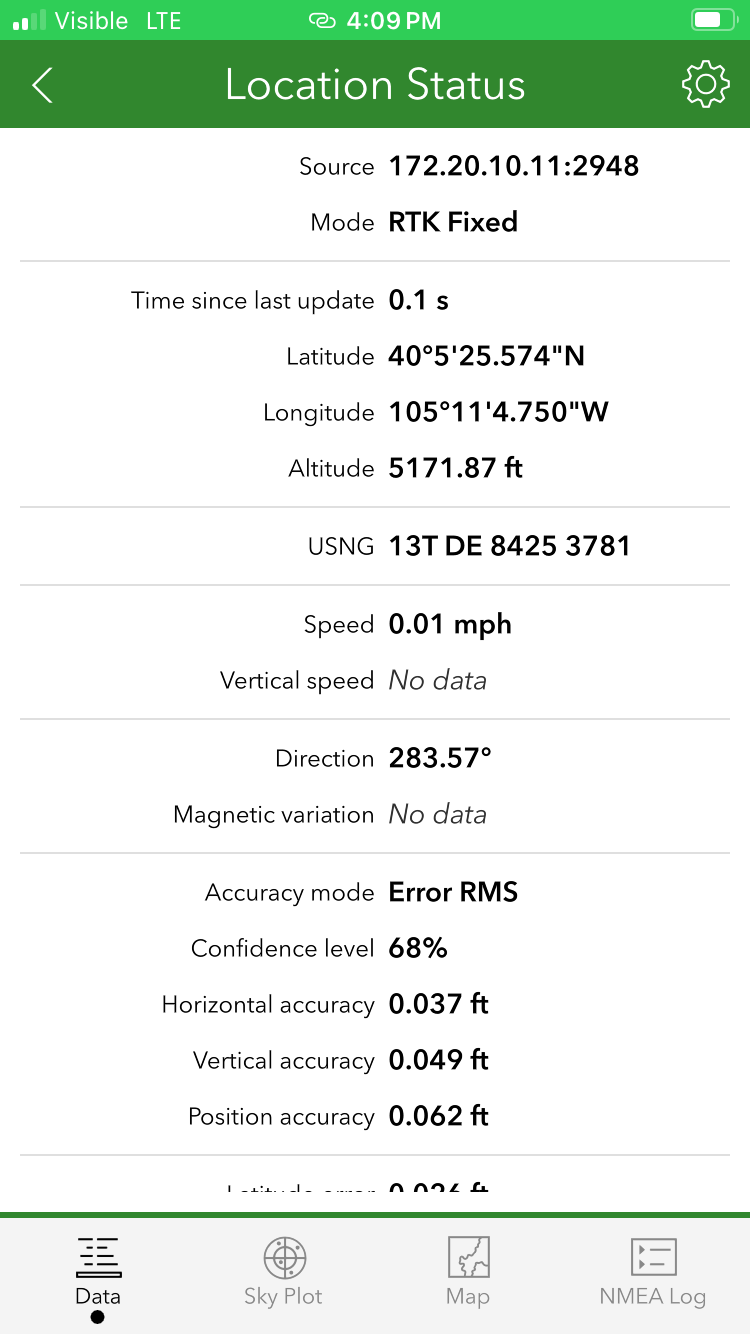
Otherwise, to view real-time sensor information, click on the satellite icon in the upper right corner. The SparkPNT FPL's data should now be seen. Click on the Map icon to return to the mapping interface.
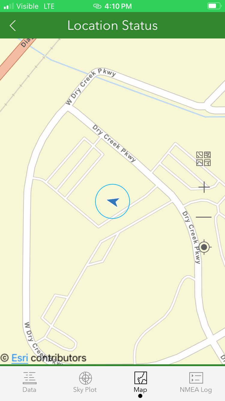
Returning to the map view, we can now begin gathering point information with millimeter accuracy.