QField
QField is an open-source GIS application that allows painless fieldwork and synchronisation with your local QGIS projects. You can use it both in online and offline settings, link to external databases or work with simple geospatial formats
Make sure the FPL is switched on and operating in Rover mode. Also, make sure that Bluetooth is enabled in the settings of your mobile device.
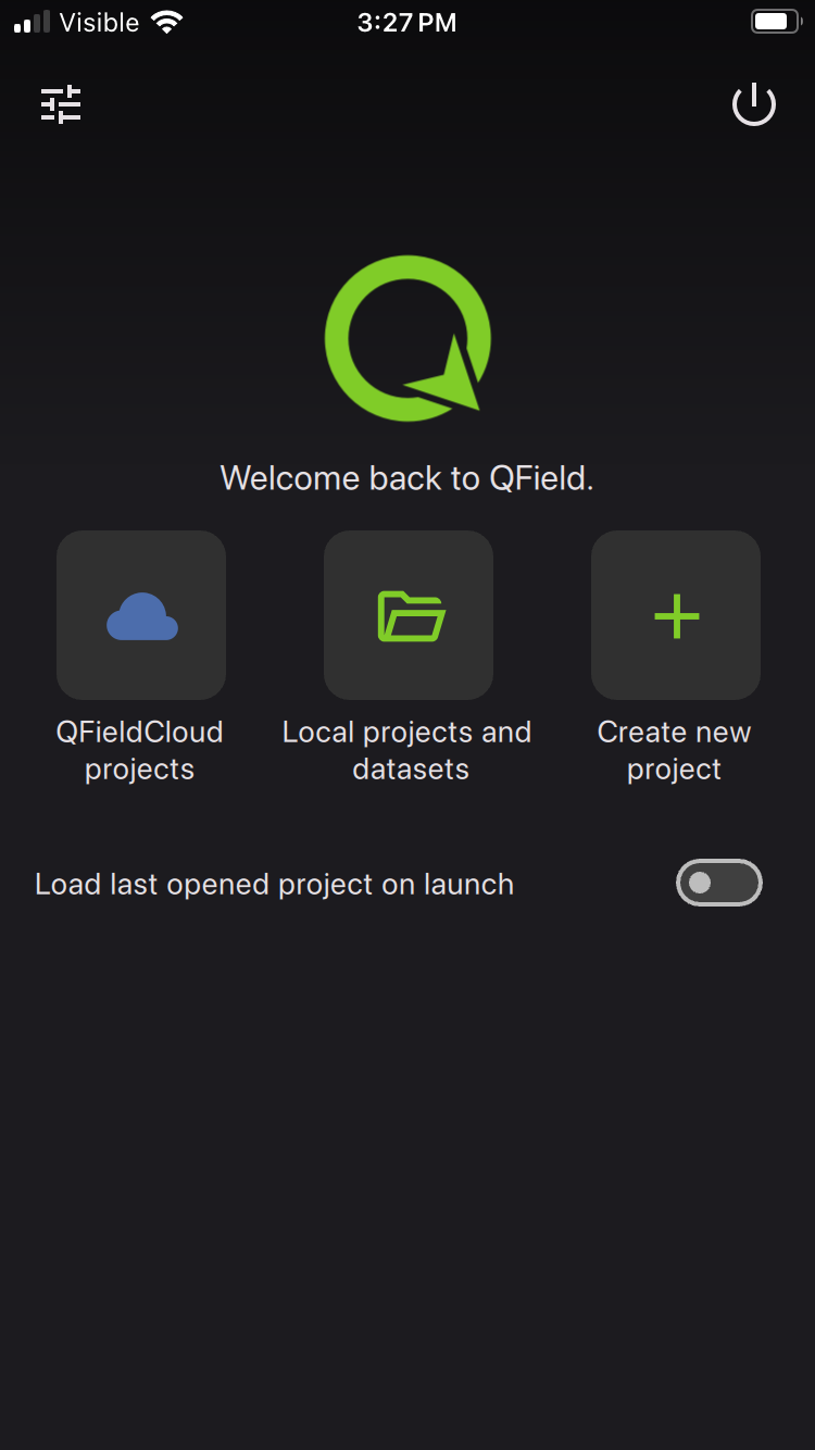
Click on QFieldCloud projects to open your project that was previously created on the QField Cloud or skip this step by using one of the default projects (Bee Farming, Wastewater, etc). Check out the QField documentation for more details.
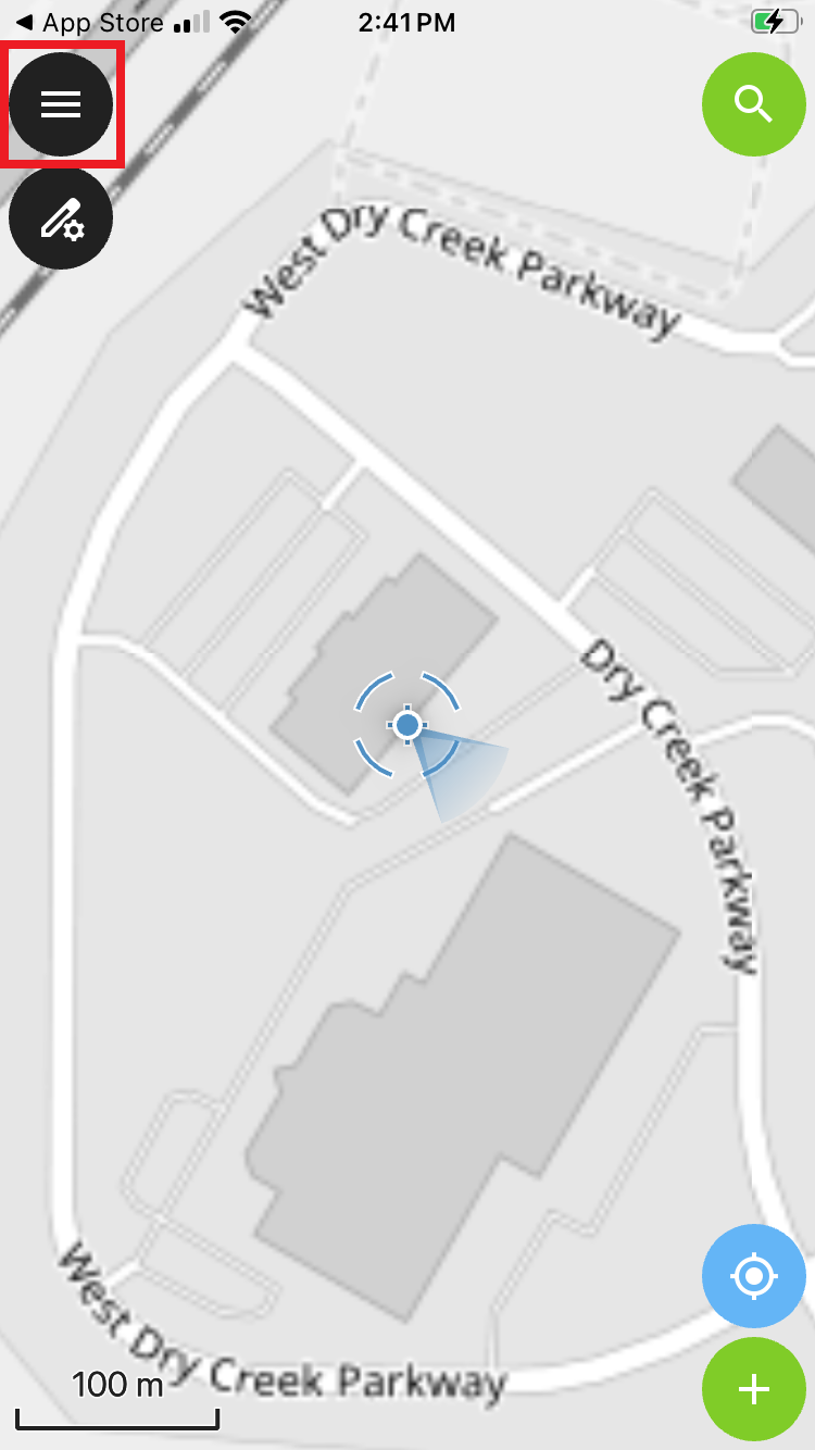
From the main map, click on the 'hamburger' icon in the upper left corner.
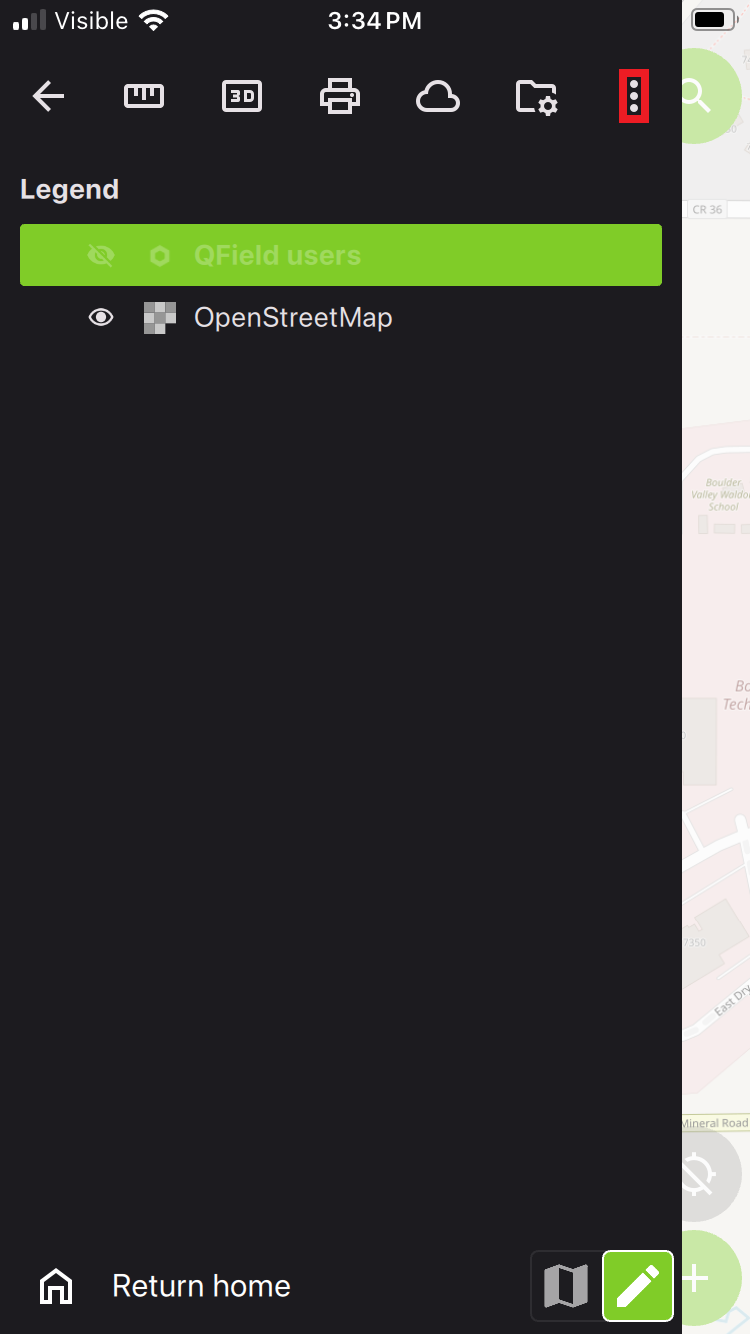
Click on the gear to open settings.
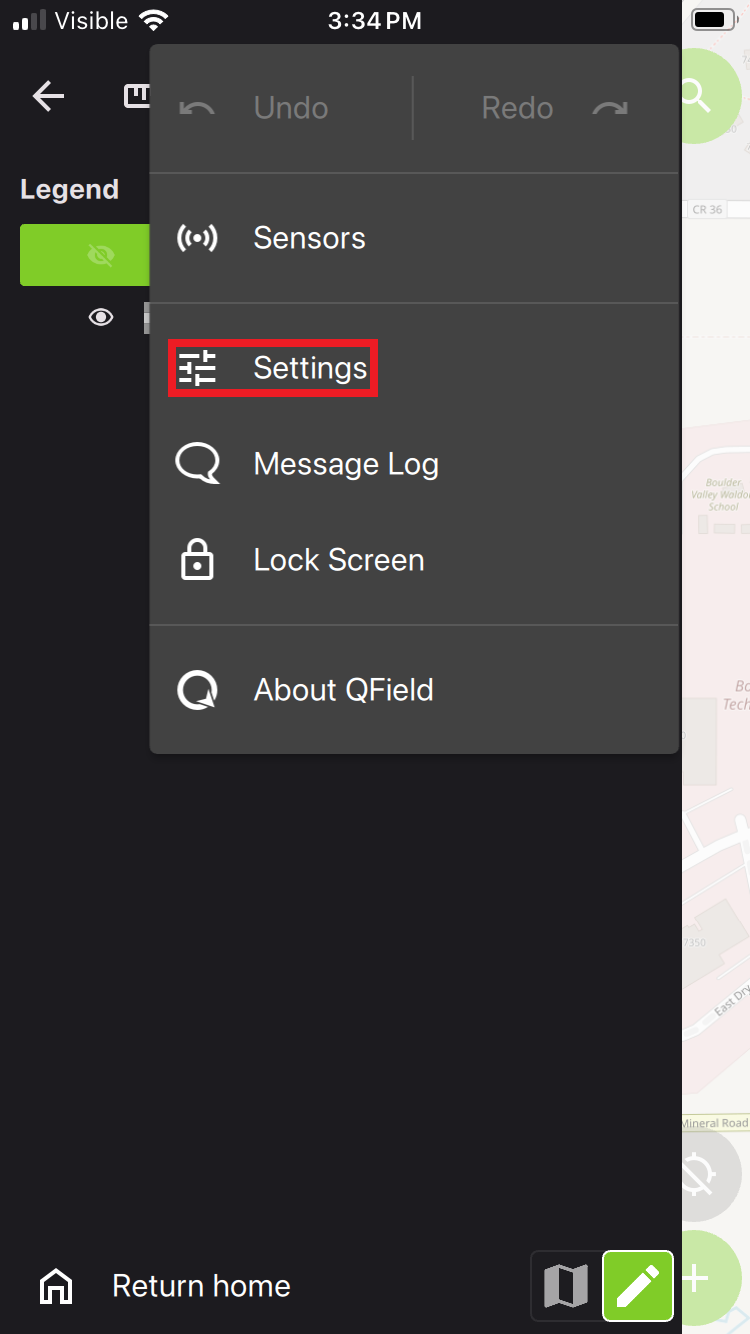
Click on the Settings menu.
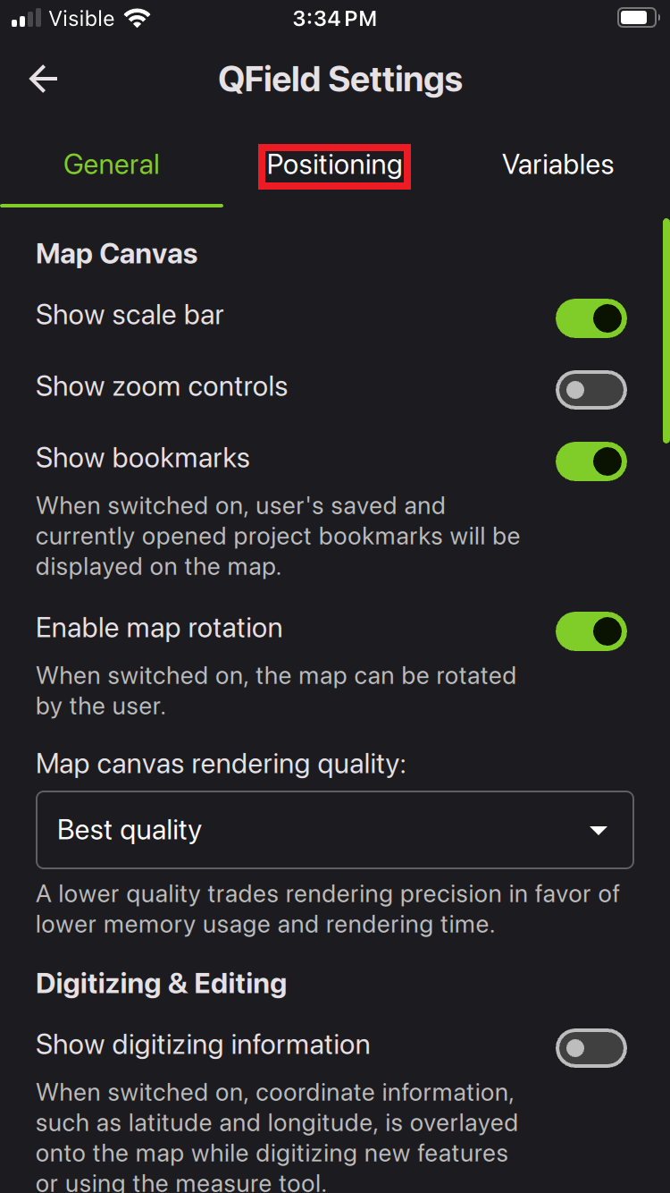
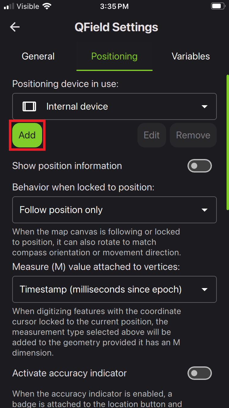
From the Positioning menu, click Add.
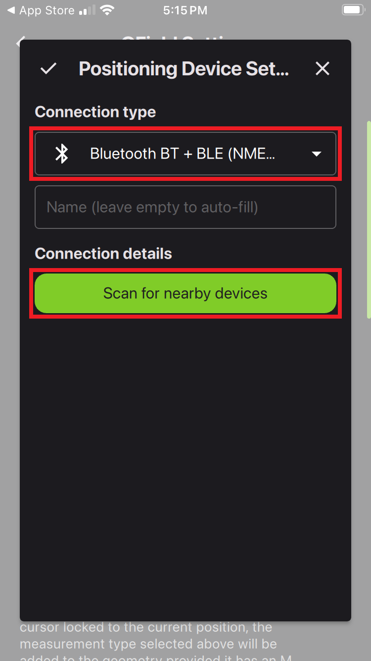
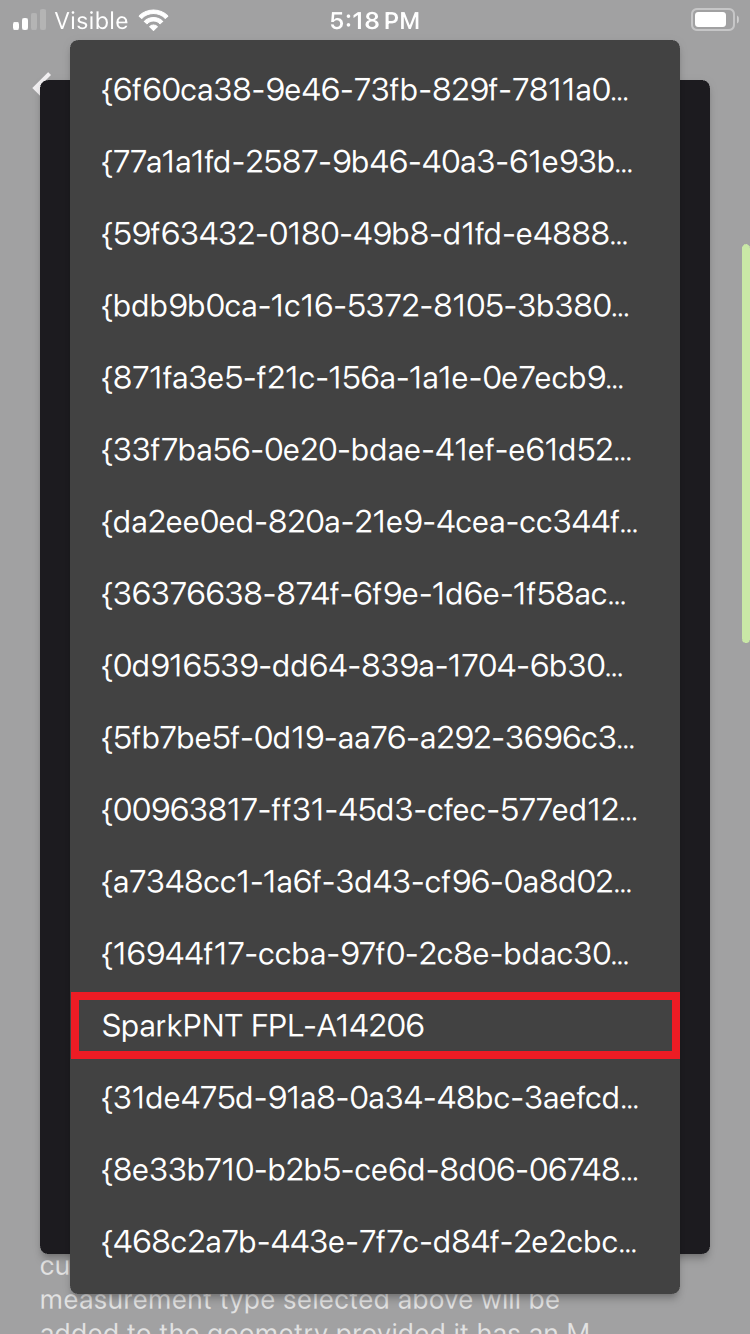
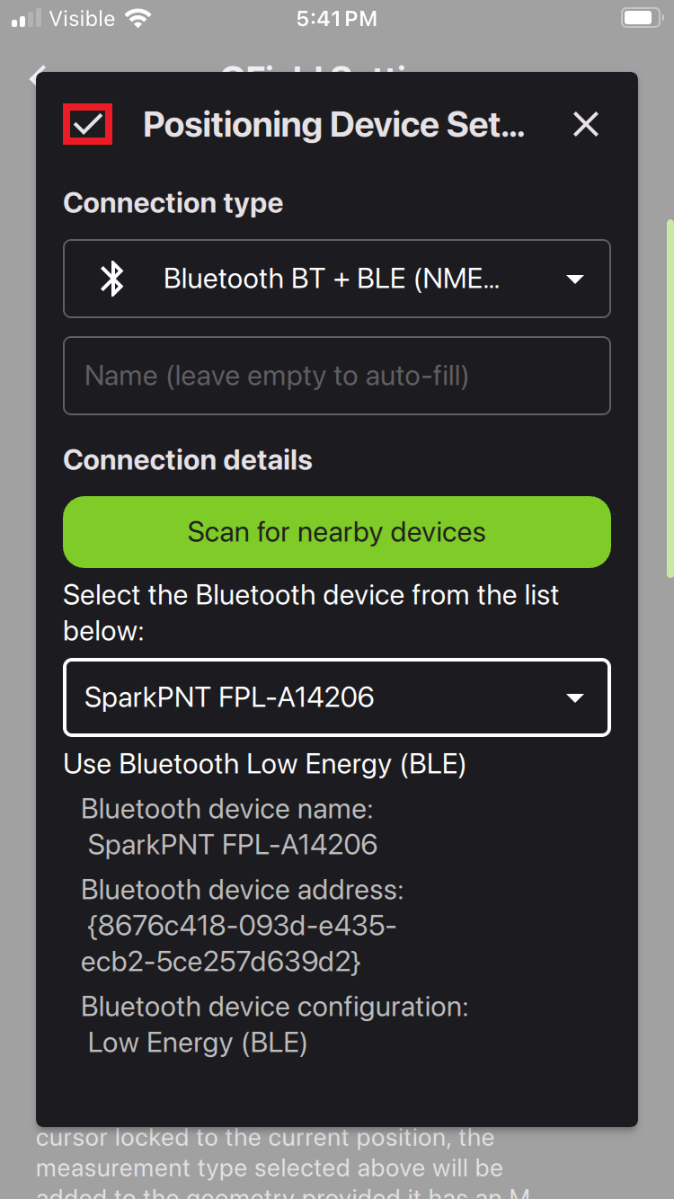
Configure Bluetooth as the connection type in the device settings. Click on the Scan for nearby devices button to list all nearby device. We recommend performing this step outside of an office setting, as the app will list the MAC addresses of any and all Bluetooth/BLE devices that it can ping. Once the device has been selected from the list of results, click on the check mark in the upper-left hand corner to save the device settings.
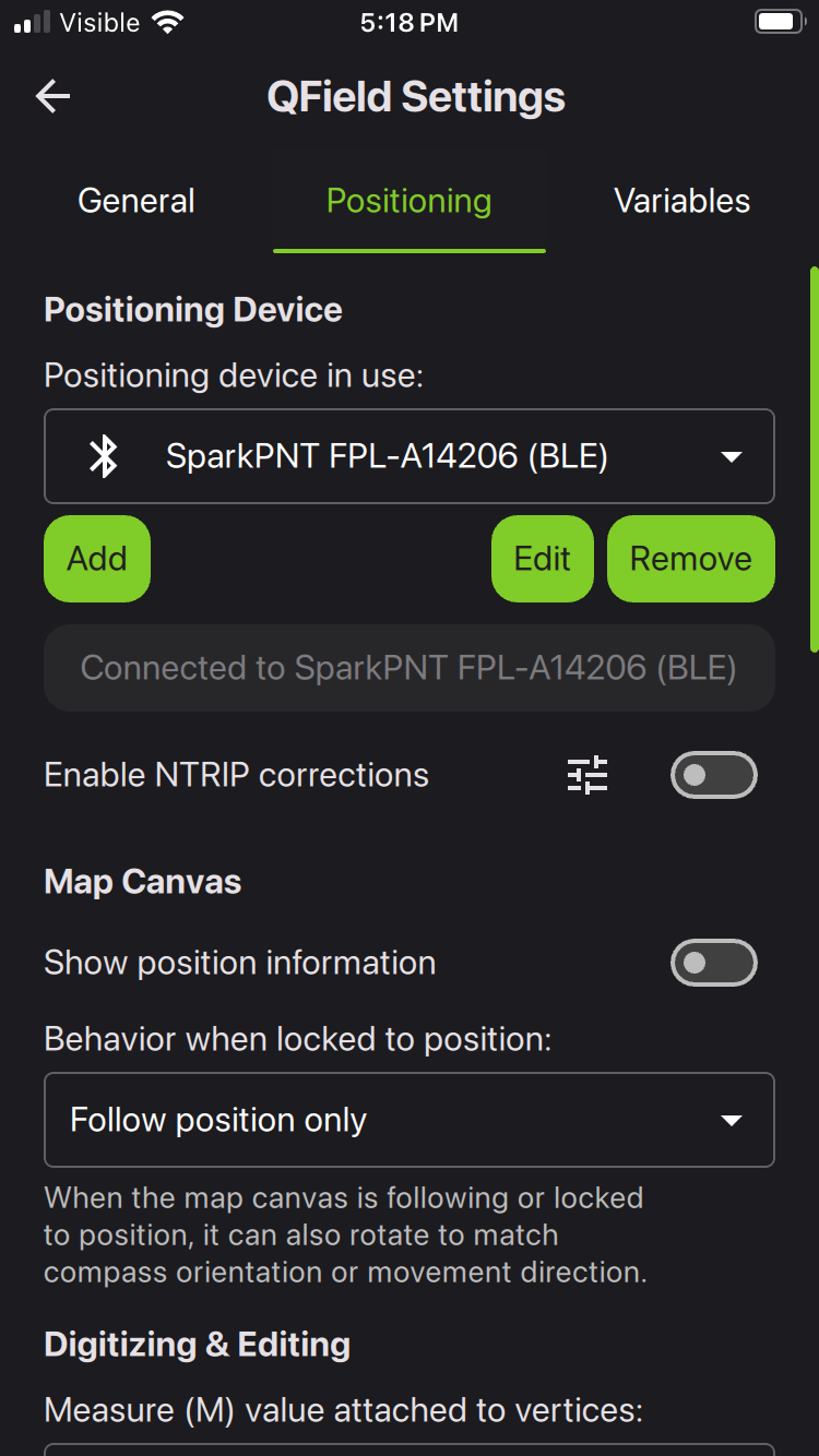
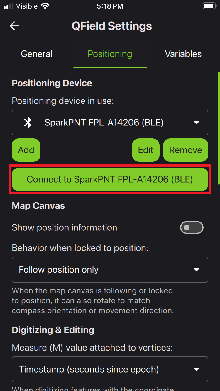
Once saved, QField will automatically attempt to connect to the device. Otherwise, users can manually connect to the device.
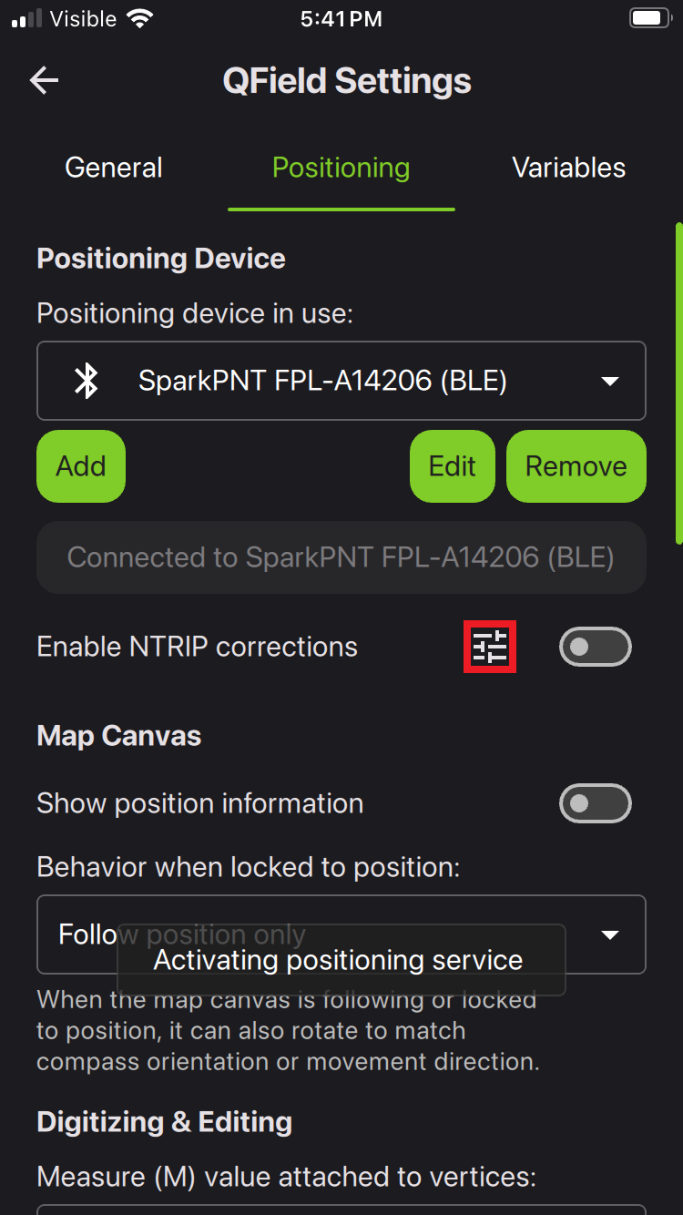
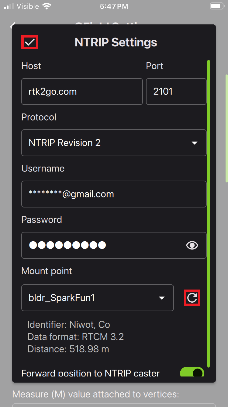
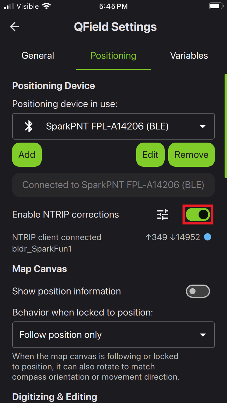
Once connected, users can also enable the NTRIP client. Click on the settings button to configure the credentials; then, click on the button to connect to the NTRIP caster. It may take 30-60 seconds to establish a connection and transfer the data.
QField automatically, locates and selects the closest mount point when retreiving the table. Additionally, all the mount points in the table are listed from closest to furthest.
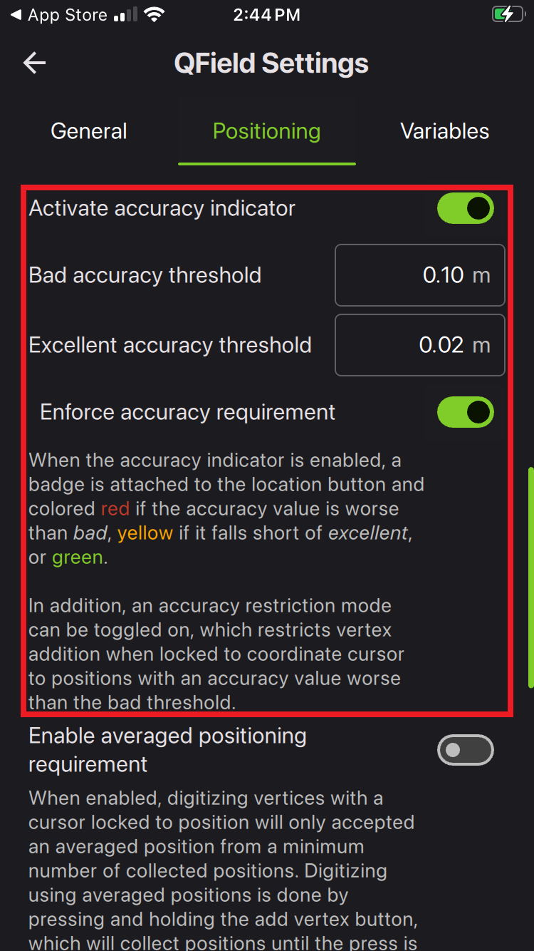
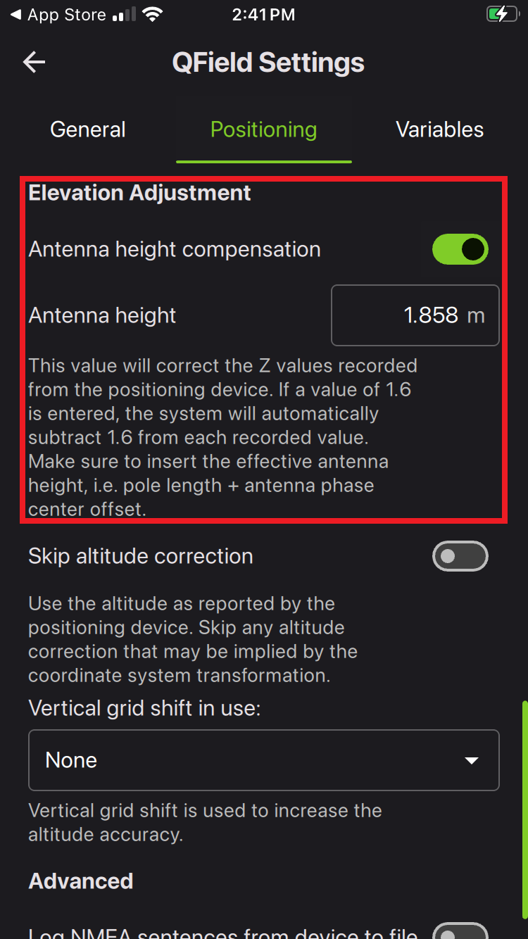
With the FPL connected, users can also scroll below include an optional accuracy indicator and/or adjust the antenna height. When complete, exit out of all menus.
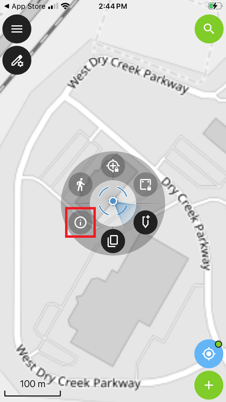
The accuracy indicator is displayed next to the current location button. For more details, click on the position indicator and select the information icon to display the position status.
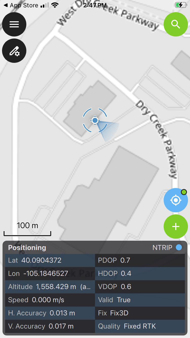
From the status window, we see an RTK Fix with 13mm positional accuracy.