SW Maps
The best mobile app that we’ve found is the powerful, free, and easy-to-use SW Maps by Softwel. It is compatible with Android and iOS, either phone or tablet with Bluetooth. What makes SW Maps truly powerful is its built-in NTRIP client. This is a fancy way of saying that we’ll be showing you how to get RTCM correction data over the cellular network.
For more details about the app, please refer to their user manual. While their manual is written for the Android version of this app, most of the content still applies with some minor differences in various parts of the user interface.
Getting Started
Make sure the FPM is switched on and operating in Rover mode. Also, make sure that Bluetooth is enabled in the settings of your mobile device. Users should also have the FPM already paired with their mobile device.
After opening SWMaps, open or continue a project if desired. SWMaps will show your approximate location based on your device's integrated GNSS receiver.
Connect a Device
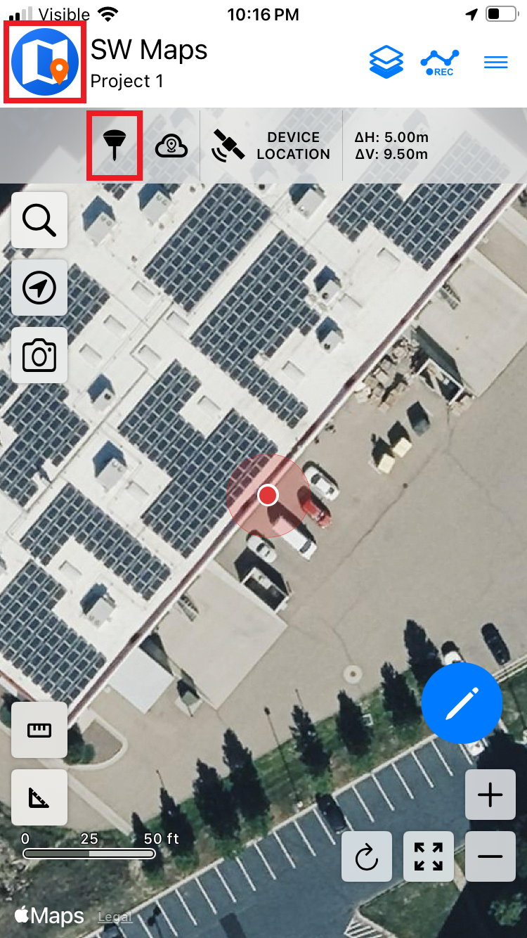
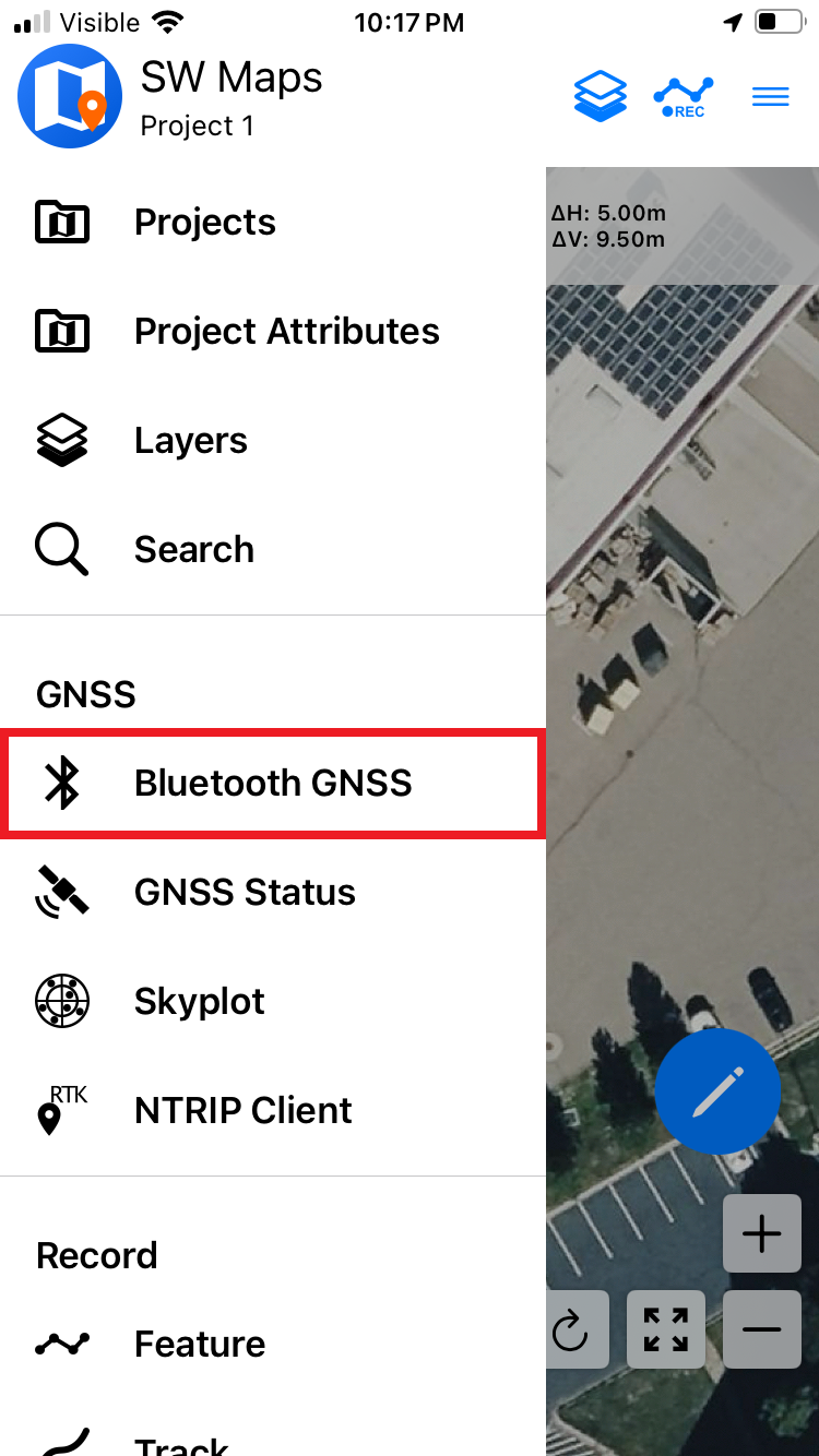
To connect to the FPM press the () survey pole icon at the top of the screen to open the Bluetooth GNSS Connection menu. Otherwise, users can also acess this menu by clicking on the () SW Map logo to open main menu; then, select Bluetooth GNSS menu under the Instruments section.
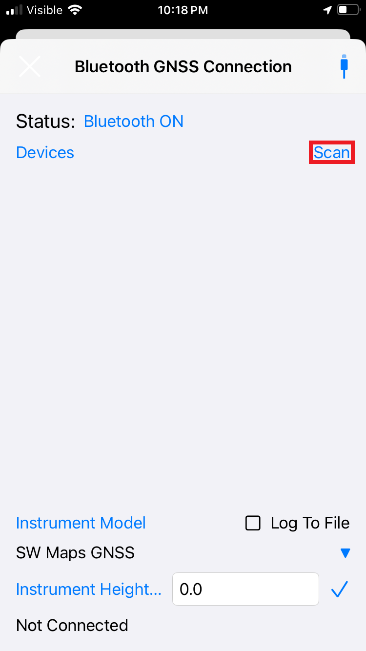
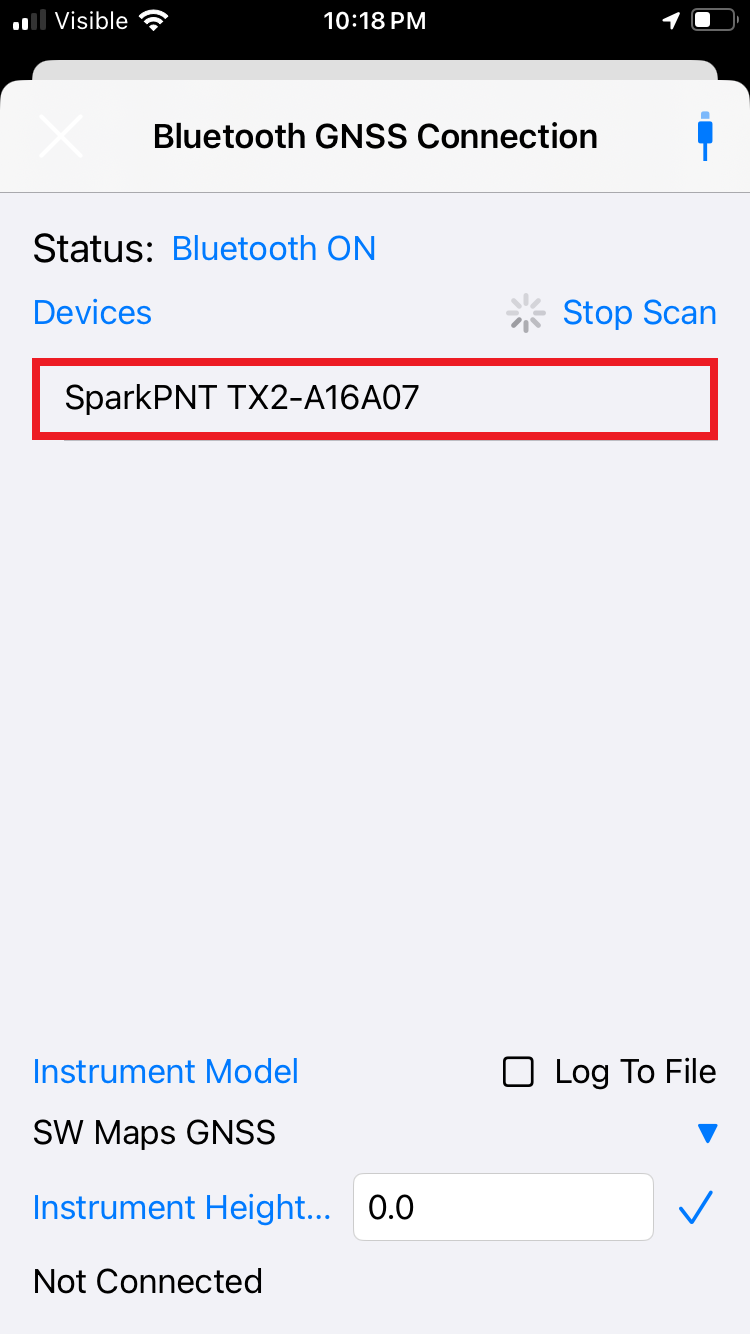
Click on the Scan button and the SparkPNT FPM-###### should appear in the list. If you don't see the FPM listed, double check the mobile device's Bluetooth connection and click the Scan button to rescan for devices. Select SparkPNT FPM-###### from the listed devices.
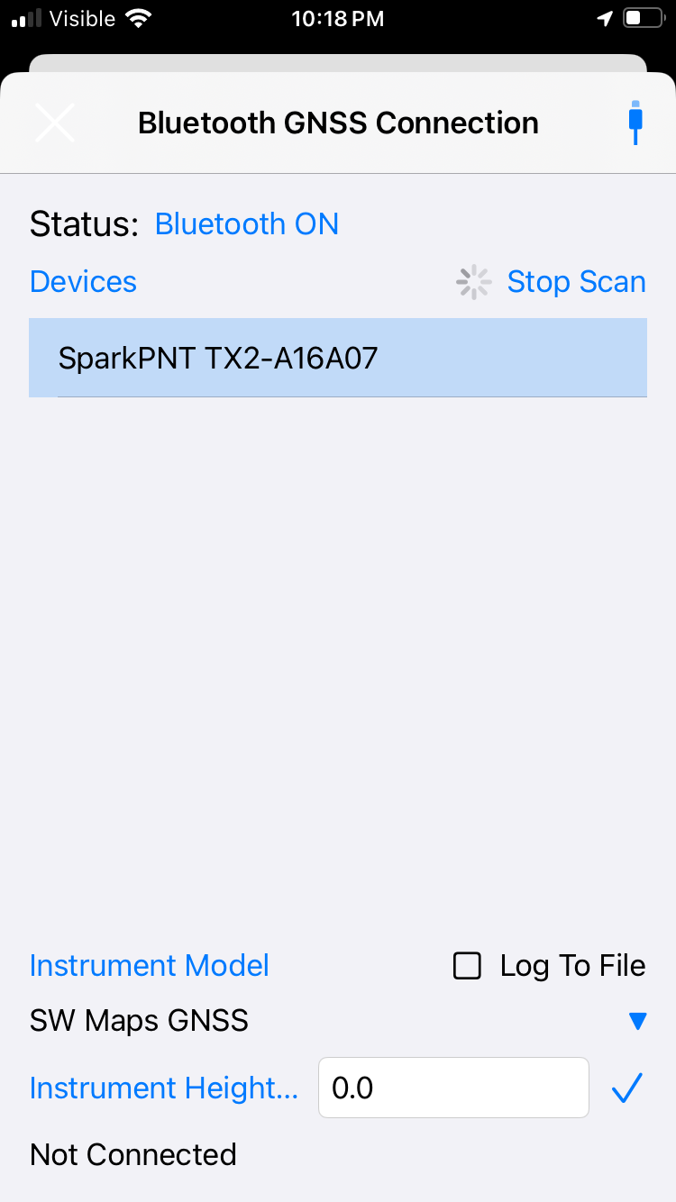
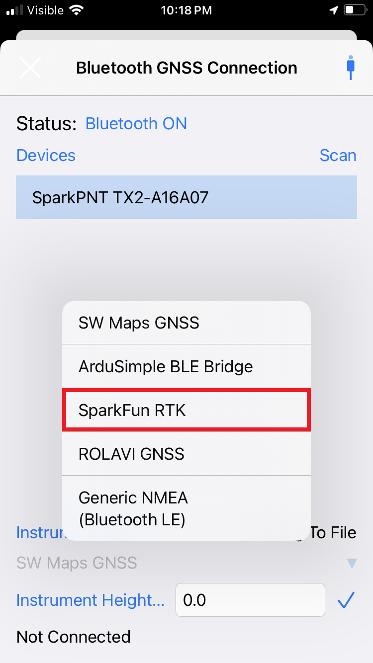
SparkFun RTK
Click on the drop-down menu for Instrument Model and select SparkFun RTK.
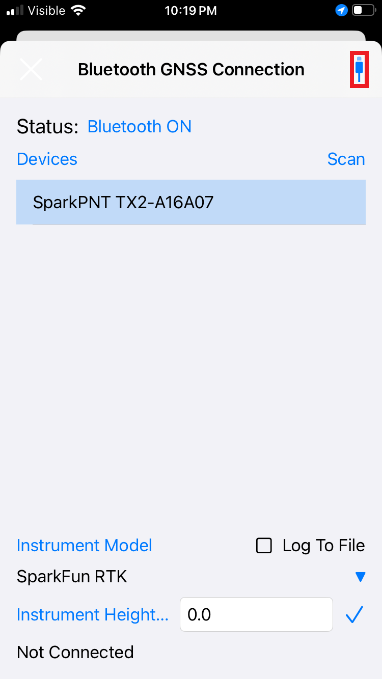
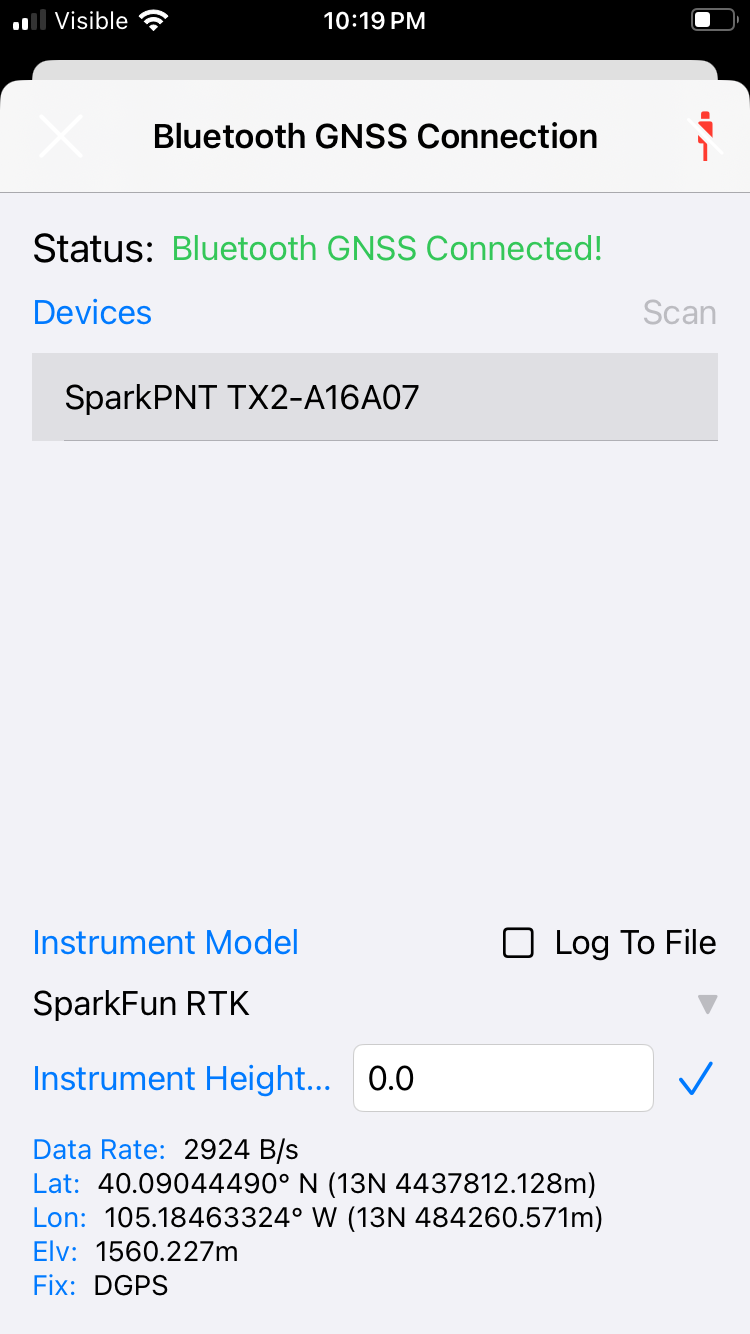
If you are taking height measurements (altitude) in addition to position (lat/long) be sure to enter the Instrument Height (m) of your antenna. See ARP and NRP for more information.
Depending on your use case, the instrument height can also be configured. Otherwise, click on the () USB icon. Assuming the FPM is outside, you should immediately have a location fix displayed at the bottom of the menu.
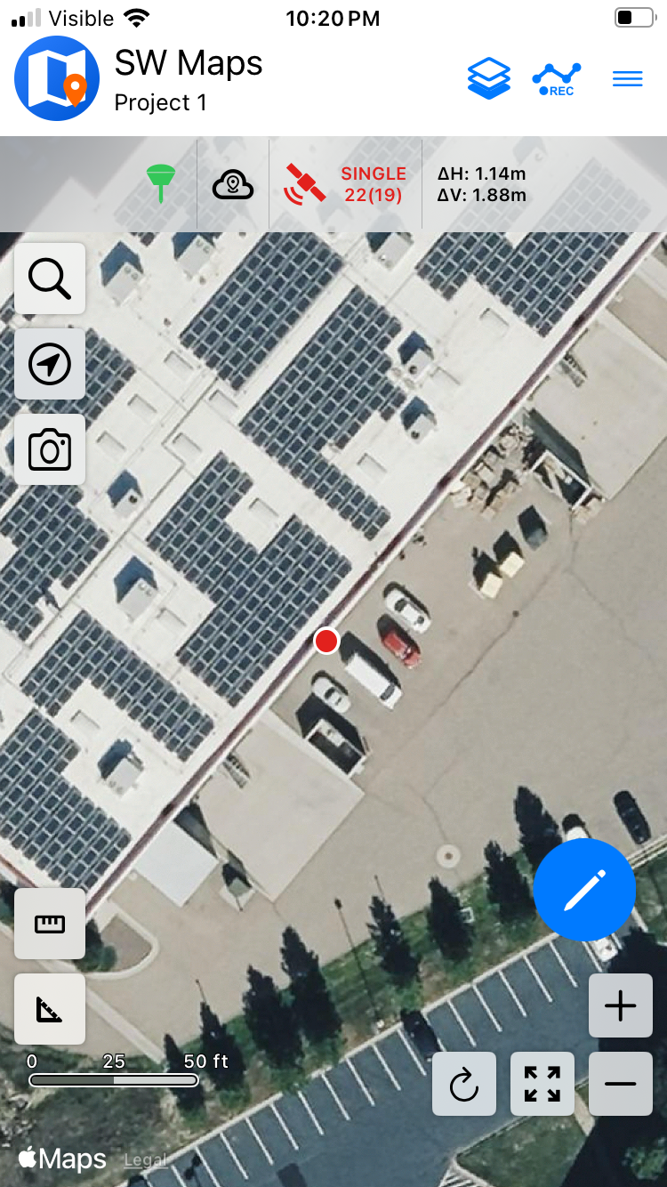
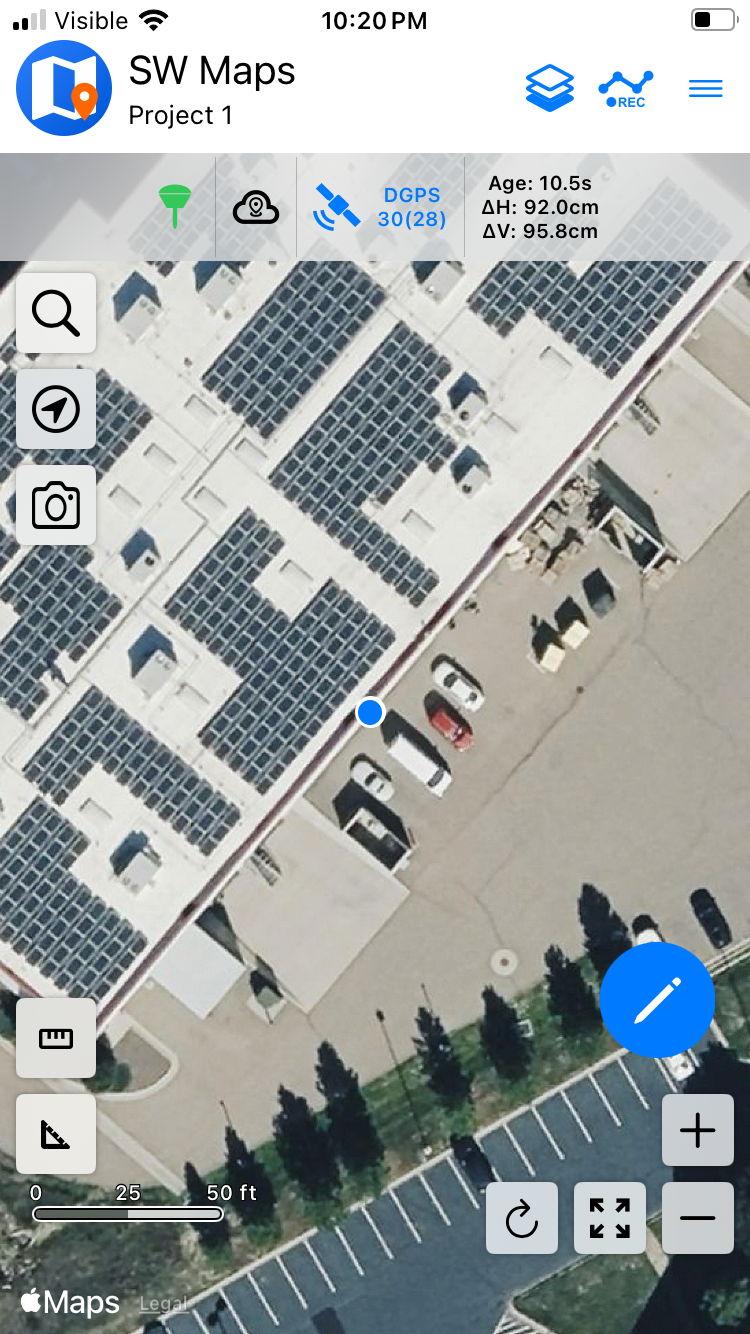
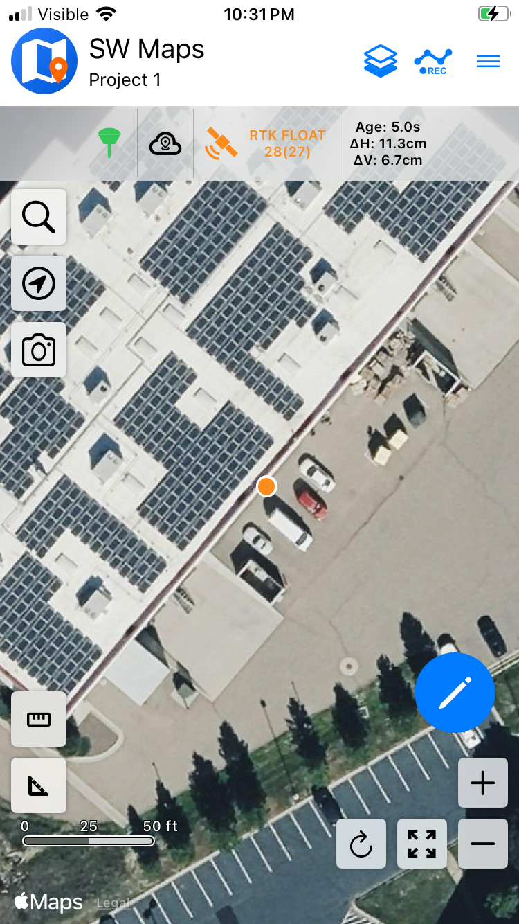
Close the Bluetooth GNSS Connection menu and your location will be displayed on the map. The () will change color based on the quality of the reported location.
NTRIP Client
We'll need to send RTCM correction data from the phone back to the FPM so that it can improve its fix accuracy. This is the amazing power of the SparkPNT products and SW Maps.
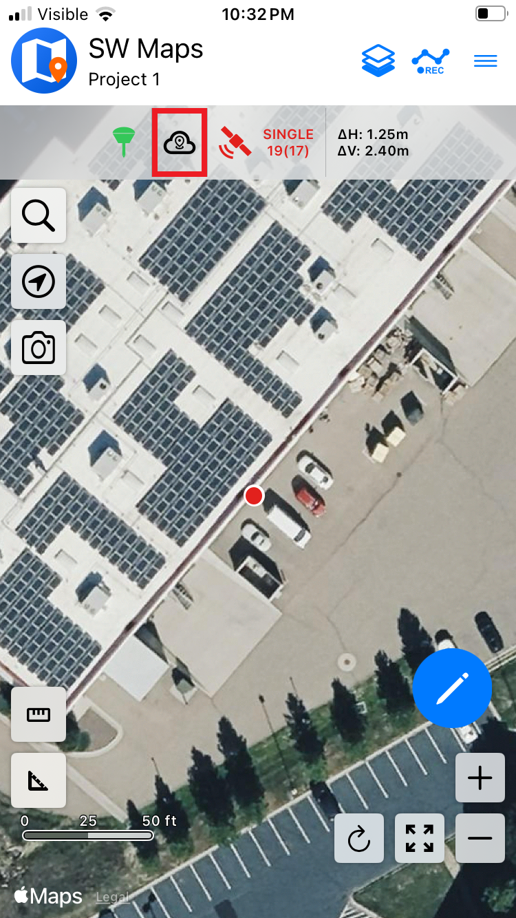
From the main screen of SW Maps, select the () cloud with a pin icon to open the NTRIP Client menu. Then, enter the connection details and credentials for your NTRIP caster.
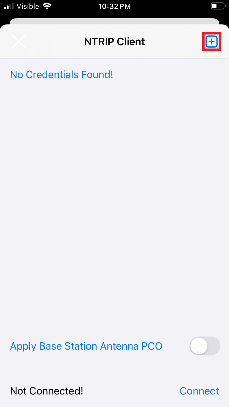
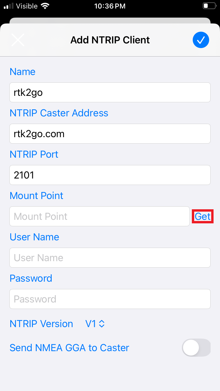
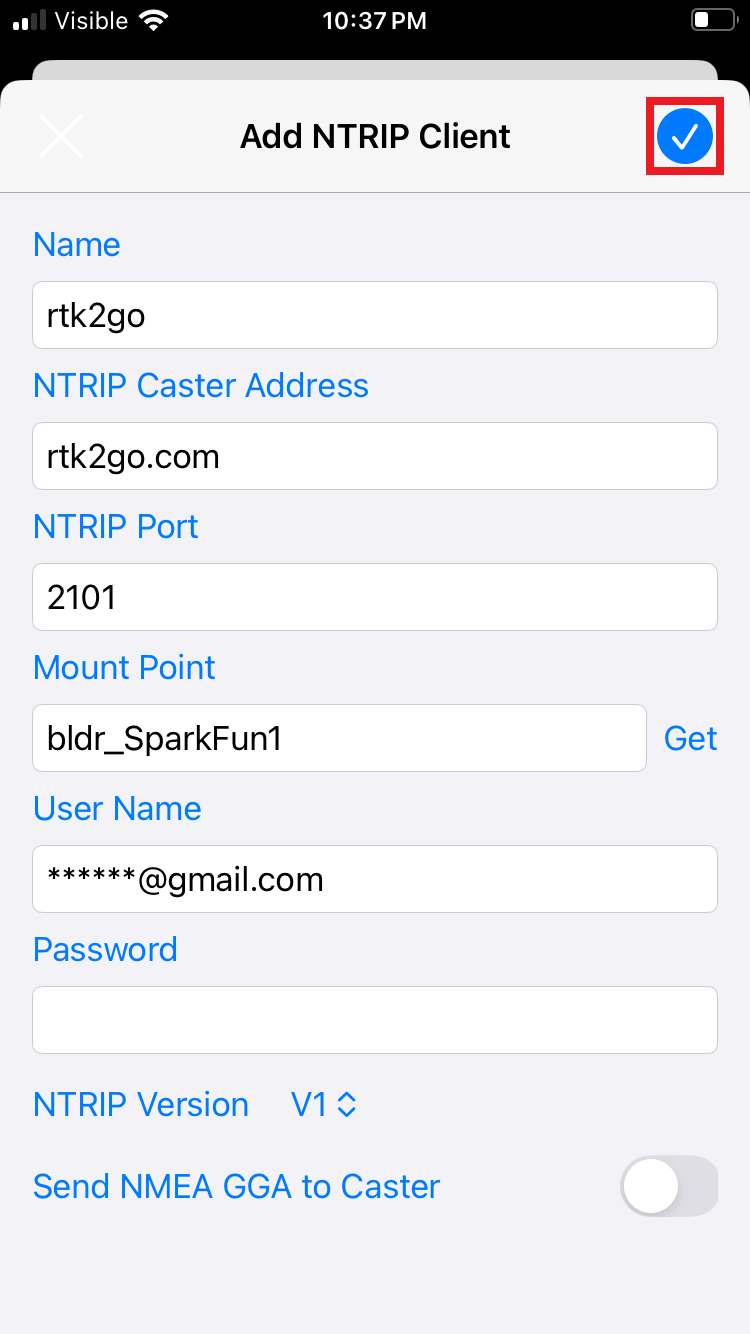
Users may need to select a Mount Point. After the Address and Port have been configured, click on the Get button to access the list of available mount points. Some service may also require the Username and Password credentials to be configured, before the list of mount points can be accessed.
Click on the () plus icon next to NTRIP Client to create a new connection. Enter the connection details and credentials for your NTRIP server. To retreive a list of mount points from the NTRIP server, click on the Get button after the credentials have been entered. Then, select a mount point and save the configuration by clicking on the Save button.
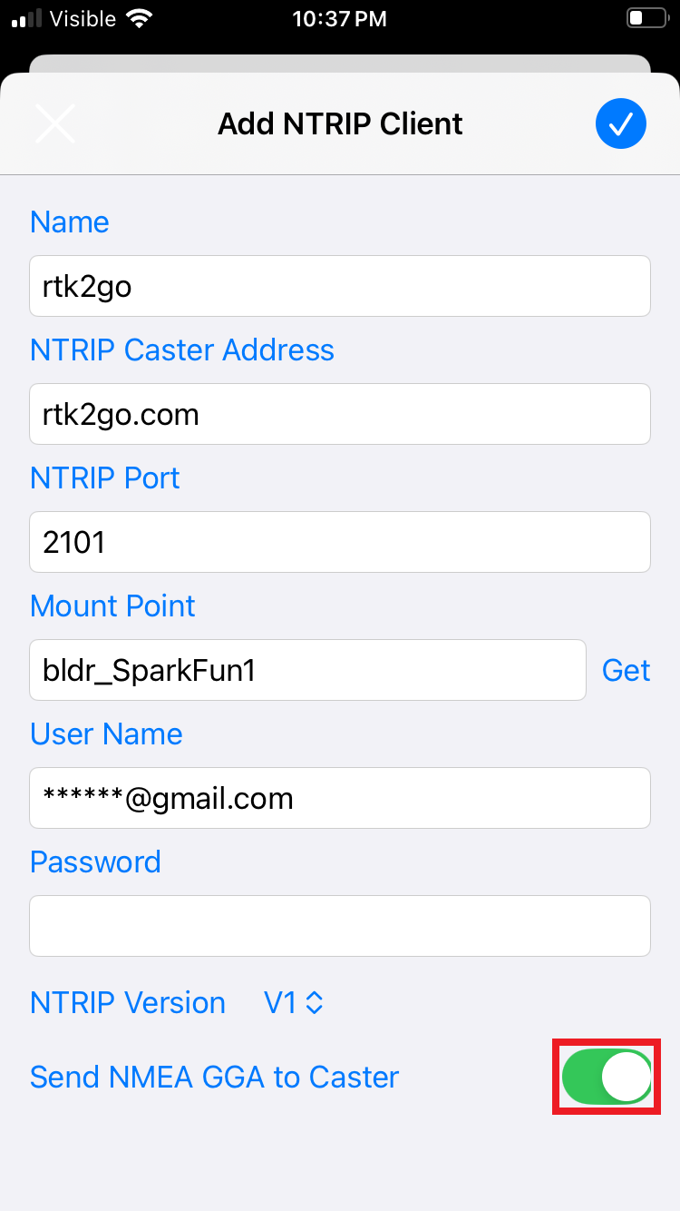
GGA messages for the NTRIP server
Depending on the NTRIP server, users may need to enable the GGA messages to be sent to the caster. In our experience, these messages are required to be sent ~10-20 seconds.
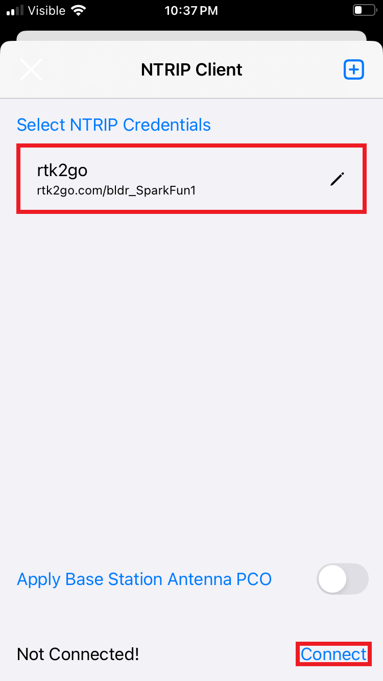
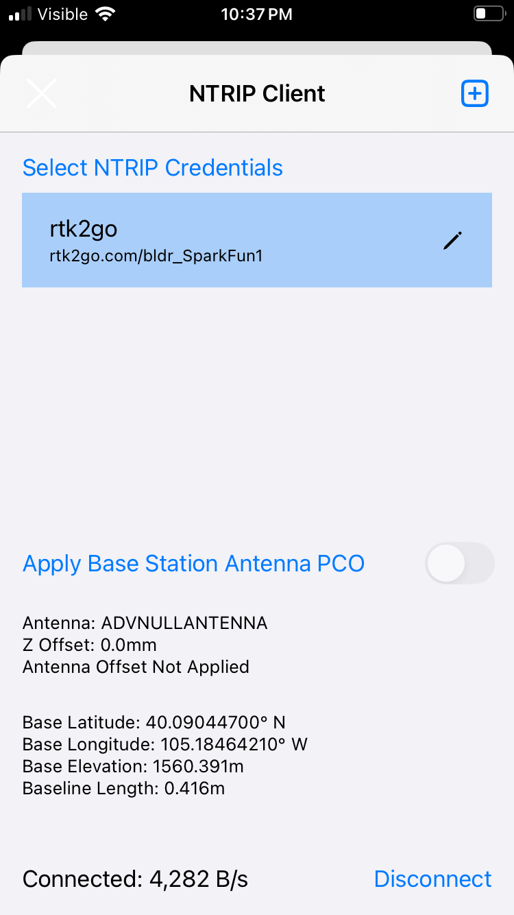
Once the configuration is saved, the NTRIP server should be listed in the NTRIP Client menu. Click on the NTRIP server followed by the Connect button. When connected, the NTRIP caster's information will be displayed below along with the data transfer. SWMaps will then transfer the RTK correction data from the NTRIP server and pass it to your FPM over Bluetooth BLE.
If you get a Connection Failed error it is likely that username and/or password was incorrect. Otherwise, you double check if you need to enable GGA messages for the NTRIP server.
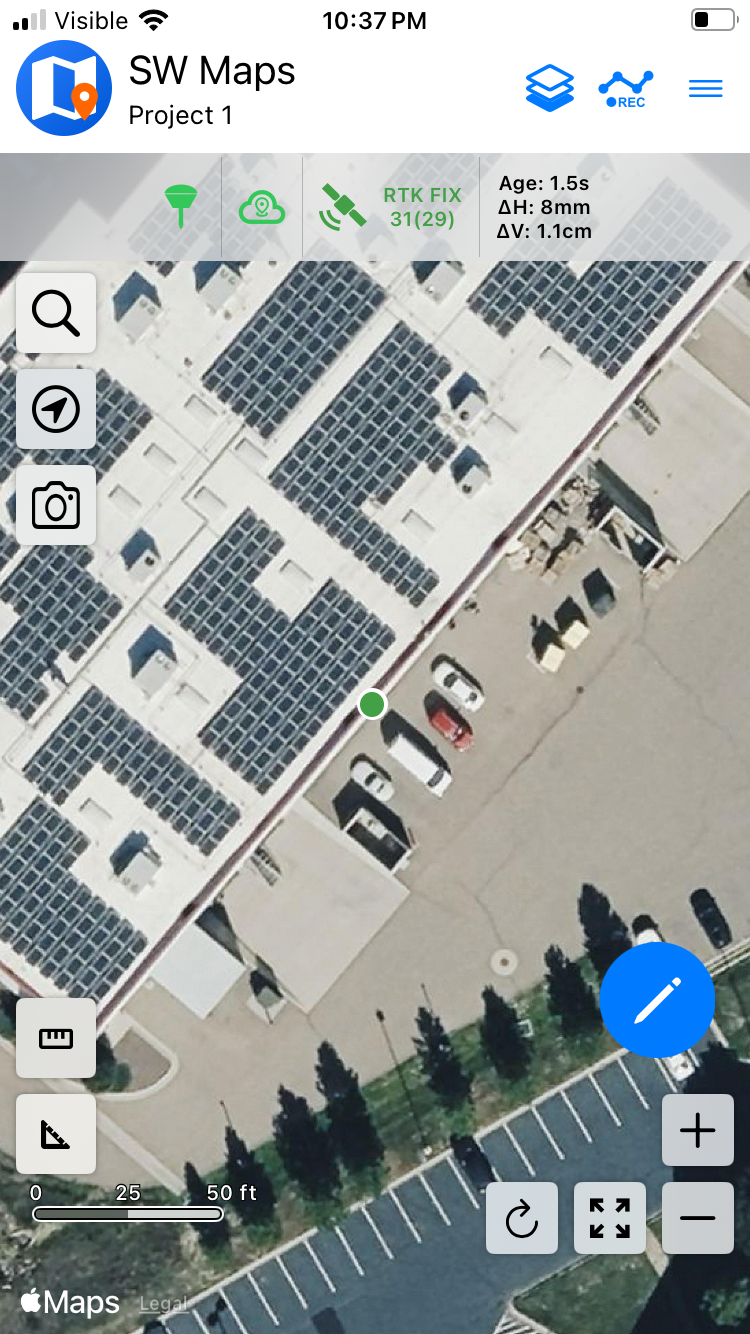
In the main screen, the indicators at the top should have all turned green, indicating that the FPM is paired, the NTRIP client is receiving data, and that the FPM has an RTK fix. For more details about the location status, users can click on the satellite icon.
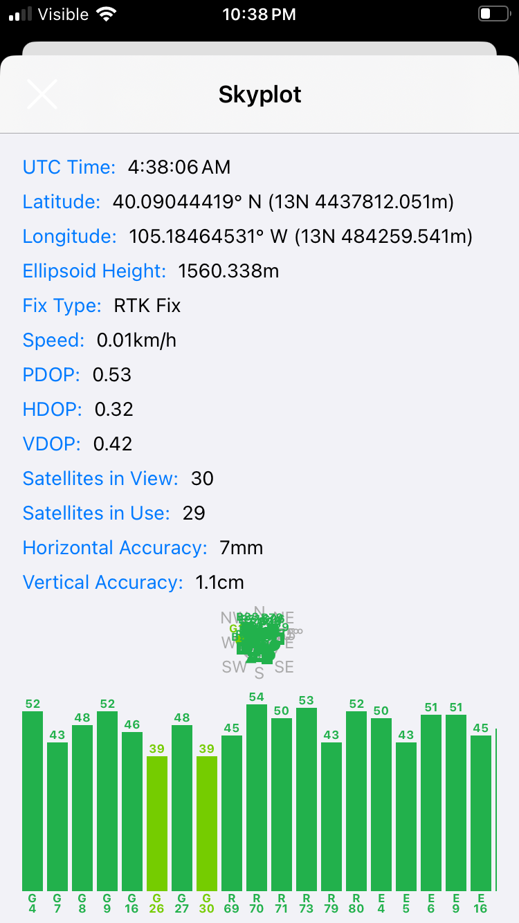
You can open the GNSS Status sub-menu from the main menu to view the current data. This menu is also accessible by clicking on the () satellite icon from the main display.
Emulated Device
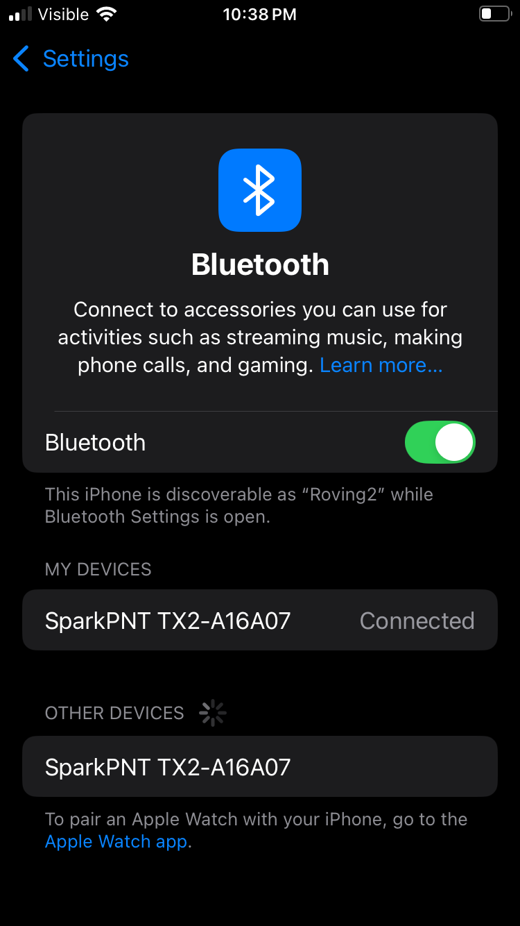
SW Maps can also emulate the FPM's position, to be utilized in another GIS app. Simply open the iOS Bluetooth Settings and connect to the other FPM listed. This second, emulated device can now be utilized and connected to in the other GIS app.