ArcGIS QuickCapture

ArcGIS QuickCapture is a popular offering from Esri that works well with SparkFun RTK products.
ArcGIS QuickCapture connects to the RTK device over TCP. In other words, the RTK device needs to be connected to the same WiFi network as the device running QuickCapture. Generally, this is an iPhone or iPad operating as a hotspot.
!!! note
The RTK device must use WiFi to connect to the iPhone or iPad. In the above image, the device will attempt to connect to iPhone (a cell phone hotspot) when WiFi is needed.
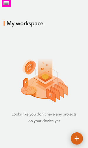
From the main screen, press the hamburger icon in the top left corner.
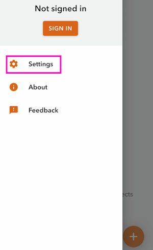
Press the Settings button.
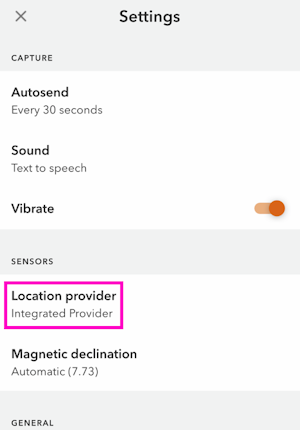
Select the Location Provider option.
Select Via Network.
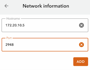
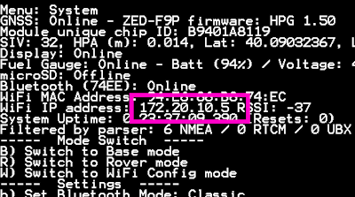
Enter the IP address and port previously obtained from the RTK device and click ADD.
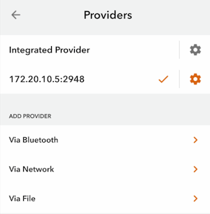
That provider should now be shown connected.
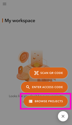
From the main screen, click on the plus in the lower left corner and then BROWSE PROJECTS.
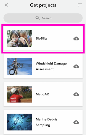
For this example, add the BioBlitz project.
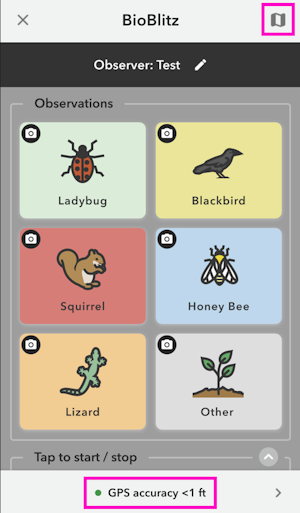
Above, we can see the GPS accuracy is better than 1ft. Click on the map icon in the top right corner.
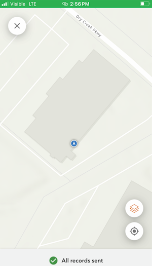
From the map view, we can see our location with very high accuracy. We can now begin gathering point information with millimeter accuracy.